Transport Functions
Port
Hub Profile
Region
1
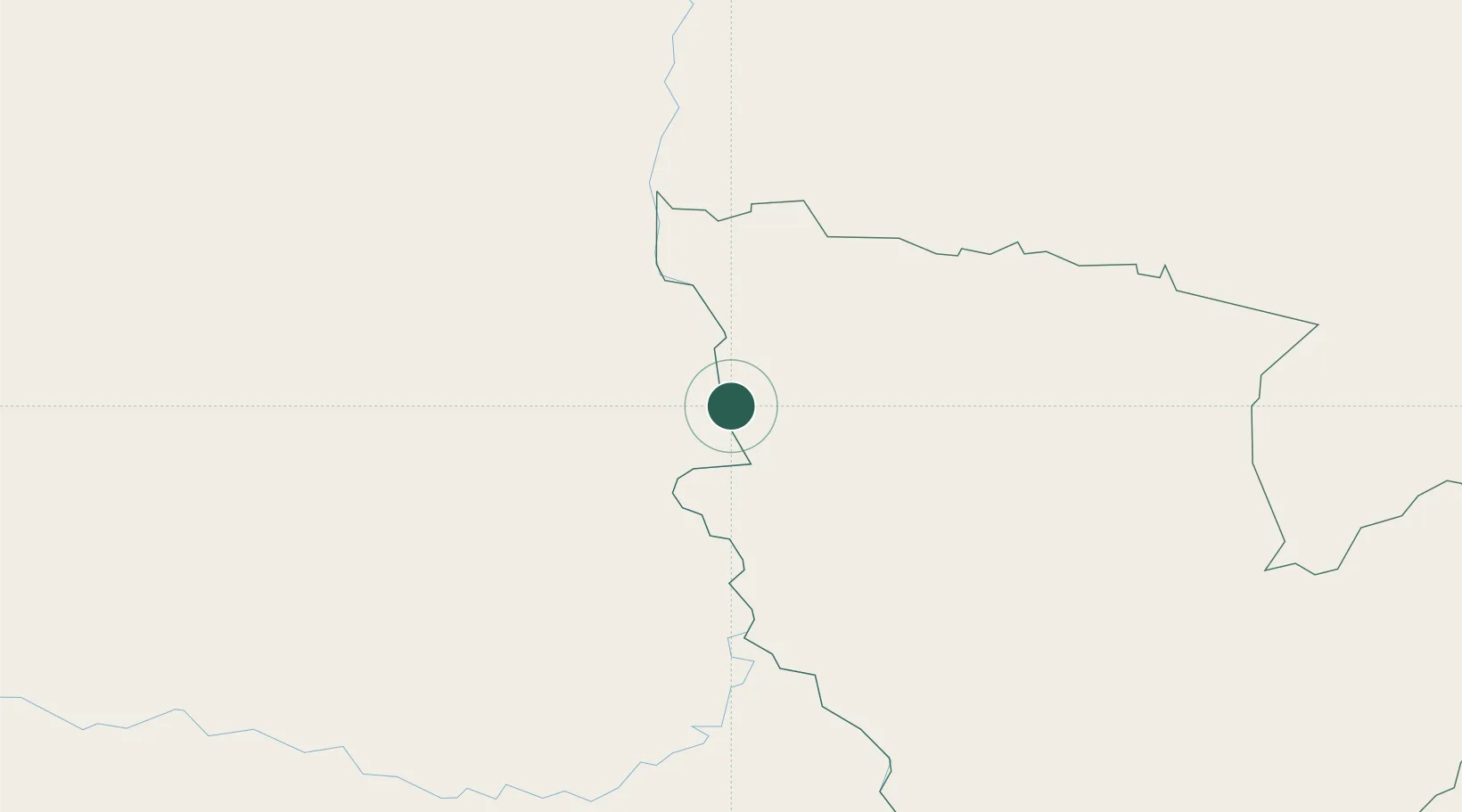
Location
Nearby Logistics Neighbours
Cities
- 1Puerto la Victoria30 km
- 2Porto Murtinho93 km
- 3Concepción104 km
- 4Puerto Guarani138 km
- 5Bela Vista142 km
Ports
- 1Puerto De Asuncion304 km
- 2Concordia986 km
- 3Paranagua1000 km
- 4Sao Francisco1017 km
- 5Itajai1047 km
Airports
Trade Zones
- 1ZPE DE Corumbá393 km
- 2Central Aguirre Portuaria393 km
- 3Zona Franca Puerto Suárez396 km
- 4Zona Franca Global456 km
- 5Zona Franca Internacional456 km
DatabookThe Record of Consolidated Knowledge
Paraguay beyond logistics?