Medium airport · Paraguay

Santa Teresa AirportSGST
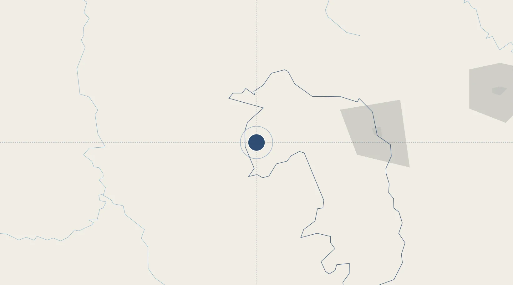
-22.6225°, -56.6344°
5,895 ft
Longest runway
1
Runways
582 ft
Elevation

Runway & Layout

Santa Teresa Airport runway & taxiway layout
Runway & taxiway layout — OpenStreetMap (ODbL) / OurAirports

Radio Frequencies

RDO
130.4 MHz
OurAirports

Runways · 1

RunwayDimensions SurfaceTrue headingLit
02/20 5,895 × 65ft Asphalt 007°
OurAirports

Airport Specifications

ICAO code
SGST
OurAirports
Airport class
Medium airport
OurAirports
Scheduled service
No
OurAirports
Runway surface
Asphalt
OurAirports
Served city
Santa Teresa
OurAirports

Location

Location of SGST
Natural Earth 10m (public domain) · Amambay · SGST · -22.62, -56.63GoogleOSMYandex

Nearby Logistics Neighbours

Airports
  1. 1Aeropuerto Nacional Dr. Augusto Roberto Fuster83 km
  2. 2Ponta Porã Airport96 km
  3. 3Lieutenant Colonel Carmelo Peralta National Airport122 km
  4. 4Fazenda Dom Felipe Airport129 km
  5. 5Aeropuerto Nacional Doctor Juan Plate144 km
Nearest neighbours — logibook spatial index (haversine) over the source coordinates
Cities
  1. 1Bela Vista59 km
  2. 2Ponta Porã97 km
  3. 3Hohenau109 km
  4. 4Concepción119 km
  5. 5Calera Cue122 km
Nearest neighbours — logibook spatial index (haversine) over the source coordinates
Ports
  1. 1Puerto De Asuncion313 km
  2. 2Paranagua884 km
  3. 3Sao Francisco905 km
  4. 4Itajai938 km
  5. 5Porto Alegre984 km
Nearest neighbours — logibook spatial index (haversine) over the source coordinates
Trade Zones
  1. 1Zona Franca Global374 km
  2. 2Zona Franca Internacional375 km
  3. 3Zona Franca Puerto Iguazu Free Trade Zone392 km
  4. 4ZPE DE Corumbá416 km
  5. 5Central Aguirre Portuaria418 km
Nearest neighbours — logibook spatial index (haversine) over the source coordinates
DatabookThe Record of Consolidated Knowledge
Paraguay beyond logistics?
Browse databook

All Sources

AirportsOurAirports
Public domain
Portsthe NGA World Port Index
Public domain (US gov)
LocationsUN/LOCODE
UN/LOCODE — free
Trade Zonesthe World Bank SEZ database
CC BY 4.0
Trade ZonesOpen Zone Map
CC BY
InfrastructureOpenStreetMap
ODbL 1.0
← Paraguay airports