Medium airport · Brazil

Ponta Porã AirportSBPP
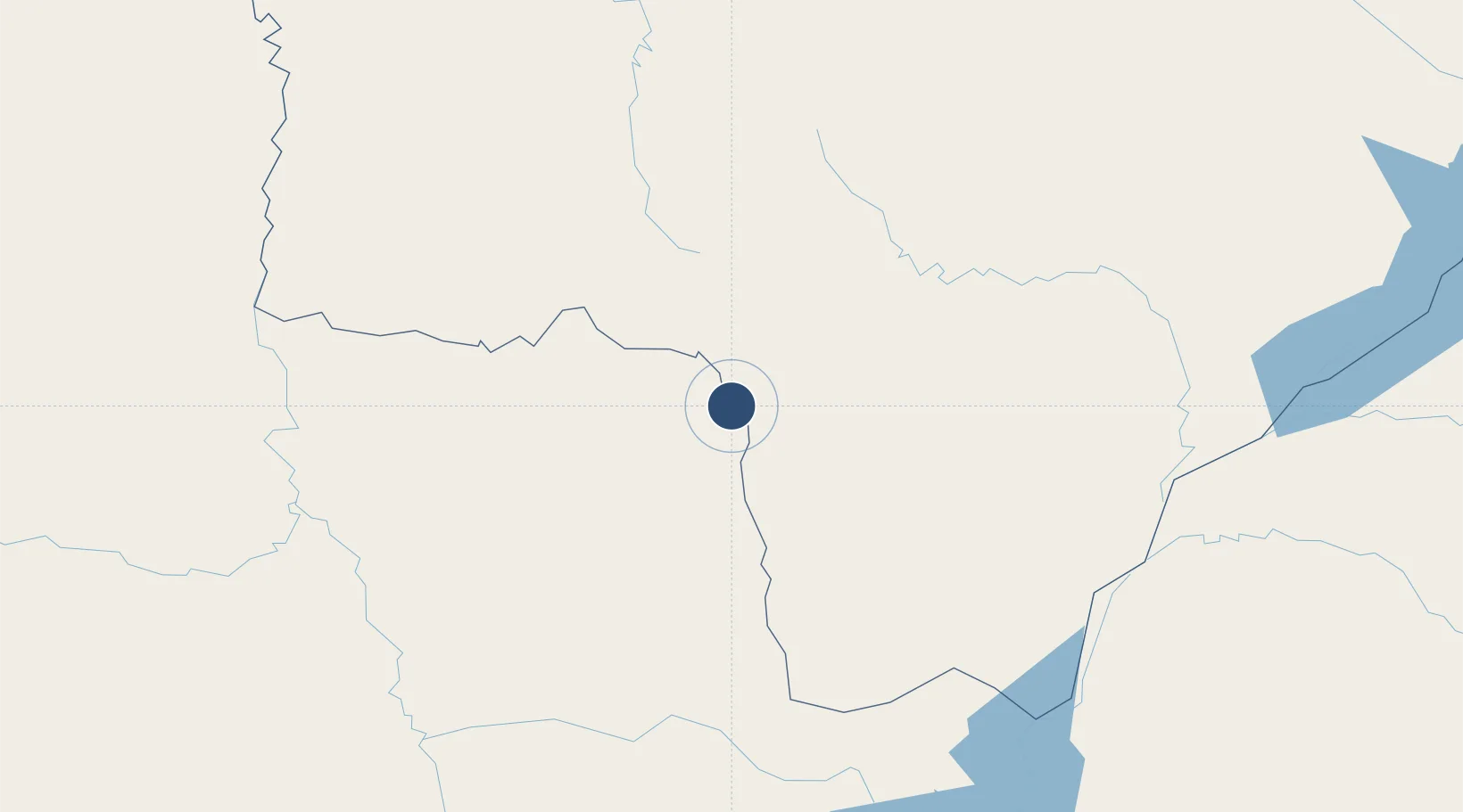
-22.5496°, -55.7026°
6,562 ft
Longest runway
1
Runways
2,156 ft
Elevation

Runway & Layout

Ponta Porã Airport runway & taxiway layout
Runway & taxiway layout — OpenStreetMap (ODbL) / OurAirports

Radio Frequencies

AFIS
125.9 MHz
PORA RDO
OurAirports

Navaids

PTP NDB Ponta Pora 340 kHz
OurAirports

Runways · 1

RunwayDimensions SurfaceTrue headingLit
04/22 6,562 × 148ft Asphalt 020°
OurAirports

Airport Specifications

IATA code
PMG
OurAirports
ICAO code
SBPP
OurAirports
Airport class
Medium airport
OurAirports
Scheduled service
Yes
OurAirports
Runway surface
Asphalt
OurAirports
Served city
Ponta Porã
OurAirports

Location

Location of SBPP
Natural Earth 10m (public domain) · Mato Grosso do Sul · SBPP · -22.55, -55.70GoogleOSMYandex

Nearby Logistics Neighbours

Airports
  1. 1Aeropuerto Nacional Dr. Augusto Roberto Fuster17 km
  2. 2Fazenda Dom Felipe Airport33 km
  3. 3Santa Teresa Airport96 km
  4. 4Bonito Airport164 km
  5. 5Lieutenant Colonel Carmelo Peralta National Airport203 km
Nearest neighbours — logibook spatial index (haversine) over the source coordinates
Cities
  1. 1Ponta Porã7 km
  2. 2Hohenau52 km
  3. 3Bela Vista98 km
  4. 4Concepción201 km
  5. 5Katuete207 km
Nearest neighbours — logibook spatial index (haversine) over the source coordinates
Ports
  1. 1Puerto De Asuncion363 km
  2. 2Paranagua800 km
  3. 3Sao Francisco825 km
  4. 4Itajai863 km
  5. 5Porto Alegre944 km
Nearest neighbours — logibook spatial index (haversine) over the source coordinates
Trade Zones
  1. 1Zona Franca Global343 km
  2. 2Zona Franca Internacional343 km
  3. 3ZPE de Bataguassú (MS)352 km
  4. 4Zona Franca Puerto Iguazu Free Trade Zone358 km
  5. 5ZPE DE Corumbá444 km
Nearest neighbours — logibook spatial index (haversine) over the source coordinates
DatabookThe Record of Consolidated Knowledge
Brazil beyond logistics?
Browse databook

All Sources

AirportsOurAirports
Public domain
Portsthe NGA World Port Index
Public domain (US gov)
LocationsUN/LOCODE
UN/LOCODE — free
Trade Zonesthe World Bank SEZ database
CC BY 4.0
Trade ZonesOpen Zone Map
CC BY
InfrastructureOpenStreetMap
ODbL 1.0
← Brazil airports