UN/LOCODE hub · Brazil
BRSJP
São José do Rio Preto
-20.8000°, -49.3667°
480,393
Population
4
Transport functions
Transport Functions
Rail
Road
Airport
Multimodal
Hub Profile
Place type
Provincial seat
Region
São Paulo
Population
480,393
Time zone
America/Sao_Paulo
Elevation
505 m
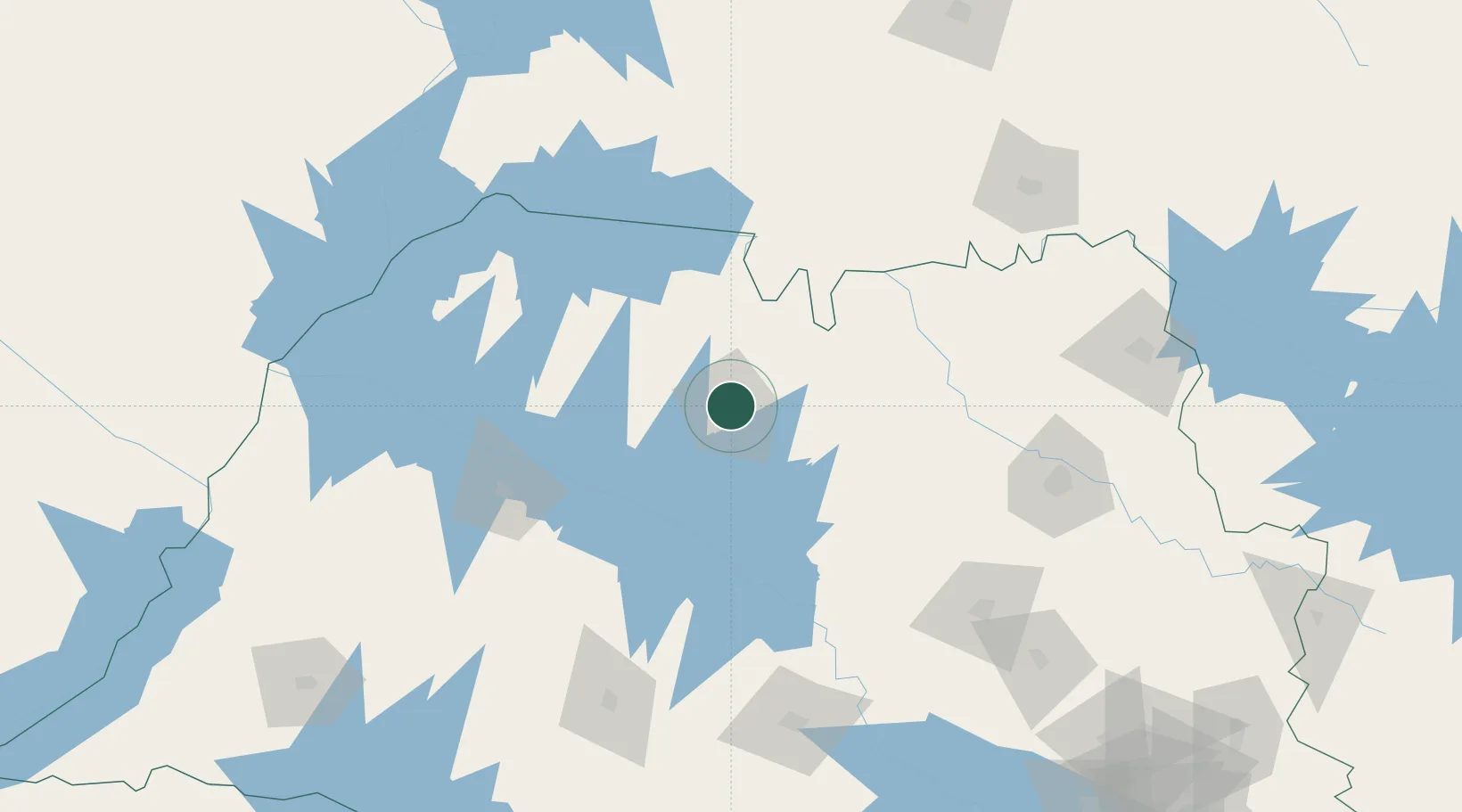
Location
Nearby Logistics Neighbours
Cities
- 1Votuporanga76 km
- 2Fernandópolis108 km
- 3Araçatuba119 km
- 4Pradópolis150 km
- 5Bariri155 km
Ports
- 1Santos471 km
- 2Sao Sebastiao527 km
- 3Paranagua530 km
- 4Angra Dos Reis576 km
- 5Sao Francisco611 km
Airports
Trade Zones
- 1ZPE de Fernandópolis (SP)110 km
- 2ZPE de Uberaba (MG)190 km
- 3ZPE de Bataguassú (MS)331 km
- 4ZPE de Itaguaí (RJ)623 km
- 5Zona Franca Puerto Iguazu Free Trade Zone753 km
DatabookThe Record of Consolidated Knowledge
Brazil beyond logistics?