Transport Functions
Rail
Road
Airport
Hub Profile
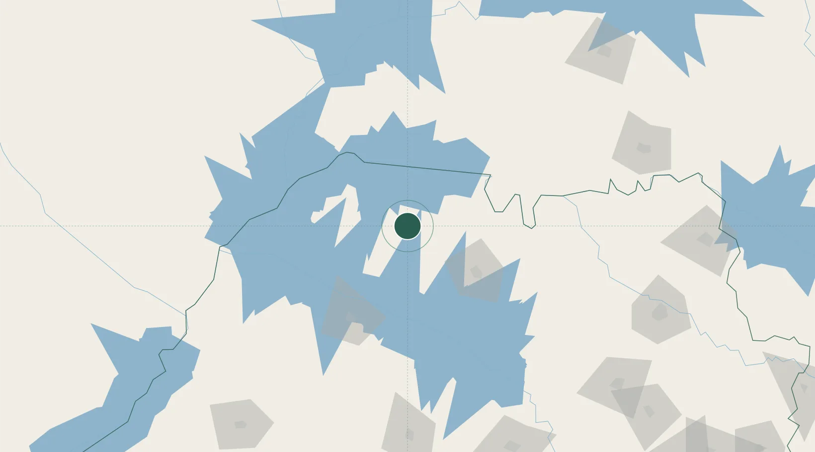
Place type
Populated place
Region
São Paulo
Population
69,863
Time zone
America/Sao_Paulo
Elevation
528 m
Location
Nearby Logistics Neighbours
Cities
- 1Fernandópolis32 km
- 2São José do Rio Preto76 km
- 3Araçatuba100 km
- 4Aparecida do Taboado122 km
- 5Ilha Solteira142 km
Ports
- 1Santos545 km
- 2Paranagua584 km
- 3Sao Sebastiao602 km
- 4Angra Dos Reis651 km
- 5Sao Francisco663 km
Airports
- 1Prof. Eribelto Manoel Reino State Airport73 km
- 2Araçatuba Airport94 km
- 3Lins Airport141 km
- 4Chafei Amsei Airport144 km
- 5Plínio Alarcom Airport182 km
Trade Zones
- 1ZPE de Fernandópolis (SP)35 km
- 2ZPE de Uberaba (MG)222 km
- 3ZPE de Bataguassú (MS)291 km
- 4ZPE de Itaguaí (RJ)697 km
- 5Zona Franca Puerto Iguazu Free Trade Zone744 km
DatabookThe Record of Consolidated Knowledge
Brazil beyond logistics?