UN/LOCODE hub · Brazil
BRSLI

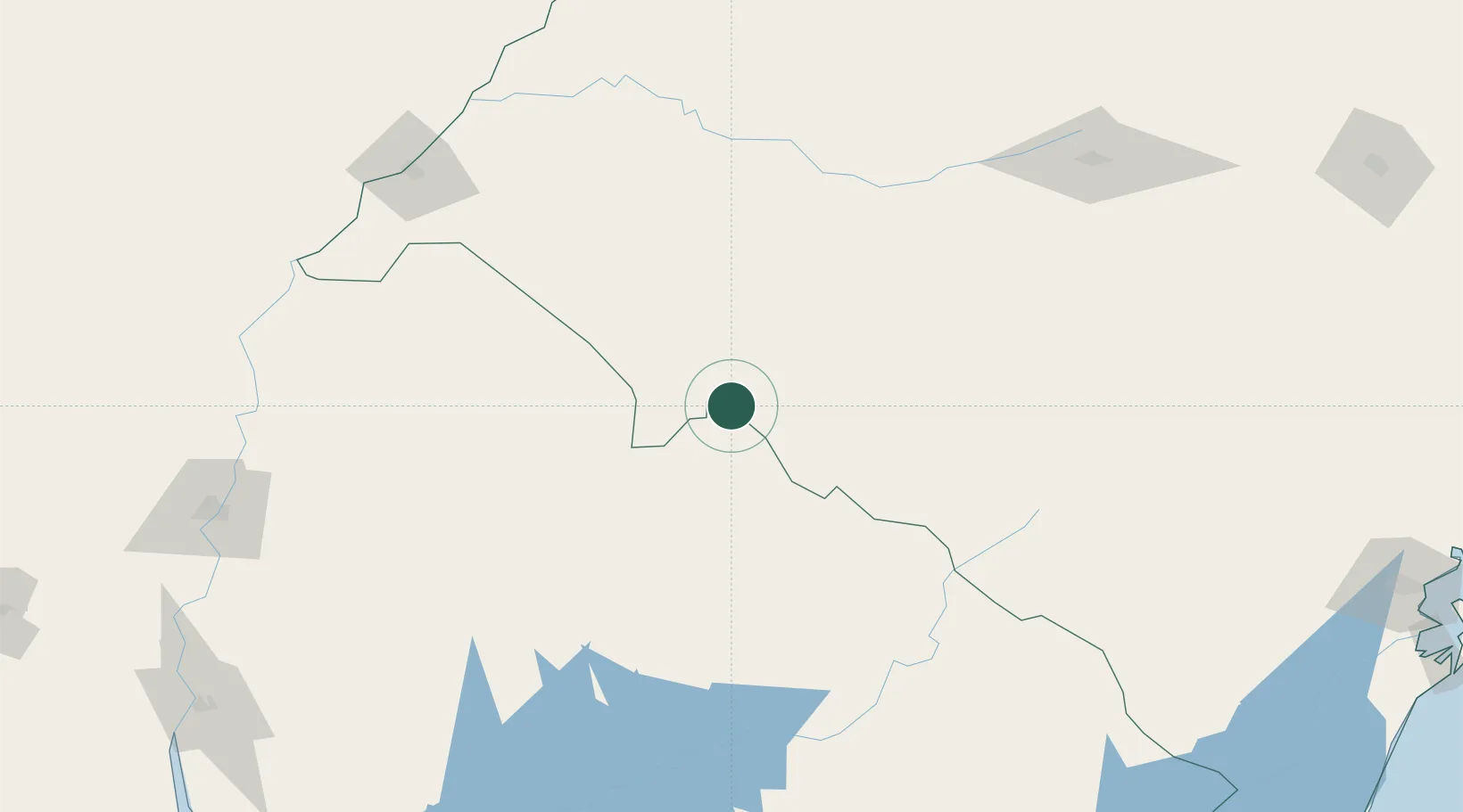
Sant'Ana do Livramento

-30.8833°, -55.5333°
84,421
Population
2
Transport functions

Transport Functions

Road
Multimodal
UN/LOCODE

Hub Profile

Place type
Populated place
GeoNames
Region
Rio Grande do Sul
GeoNames
Population
84,421
GeoNames
Time zone
America/Sao_Paulo
GeoNames
Elevation
213 m
GeoNames

Location

Location of BRSLI
Natural Earth 10m (public domain) · Rio Grande do Sul · BRSLI · -30.88, -55.53GoogleOSMYandex

Nearby Logistics Neighbours

Cities
  1. 1Quaraí105 km
  2. 2Cacequi132 km
  3. 3Aceguá170 km
  4. 4Uruguaiana194 km
  5. 5Barra do Quaraí208 km
Nearest neighbours — logibook spatial index (haversine) over the source coordinates
Ports
  1. 1Concordia245 km
  2. 2Colon288 km
  3. 3Paysandu288 km
  4. 4Concepcion Del Uruguay311 km
  5. 5Pelotas320 km
Nearest neighbours — logibook spatial index (haversine) over the source coordinates
Airports
  1. 1Pres. Gral. Óscar D. Gestido Binational Airport12 km
  2. 2Comandante Gustavo Kraemer Airport147 km
  3. 3Rubem Berta Airport189 km
  4. 4Paso De Los Libres Airport204 km
  5. 5Monte Caseros Airport213 km
Nearest neighbours — logibook spatial index (haversine) over the source coordinates
Trade Zones
  1. 1Rivera Free Zone7 km
  2. 2ZPE de Rio Grande (RS)346 km
  3. 3UPM Fray Bentos Free Zone358 km
  4. 4Zona Franca UPM358 km
  5. 5Florida Free Zone365 km
Nearest neighbours — logibook spatial index (haversine) over the source coordinates
DatabookThe Record of Consolidated Knowledge
Brazil beyond logistics?
Browse databook

All Sources

LocationsUN/LOCODE
UN/LOCODE — free
LocationsGeoNames
CC BY 4.0
Portsthe NGA World Port Index
Public domain (US gov)
AirportsOurAirports
Public domain
Trade Zonesthe World Bank SEZ database
CC BY 4.0
Trade ZonesOpen Zone Map
CC BY
← Brazil locations