Medium airport · Peru
Iberia AirportSPBR
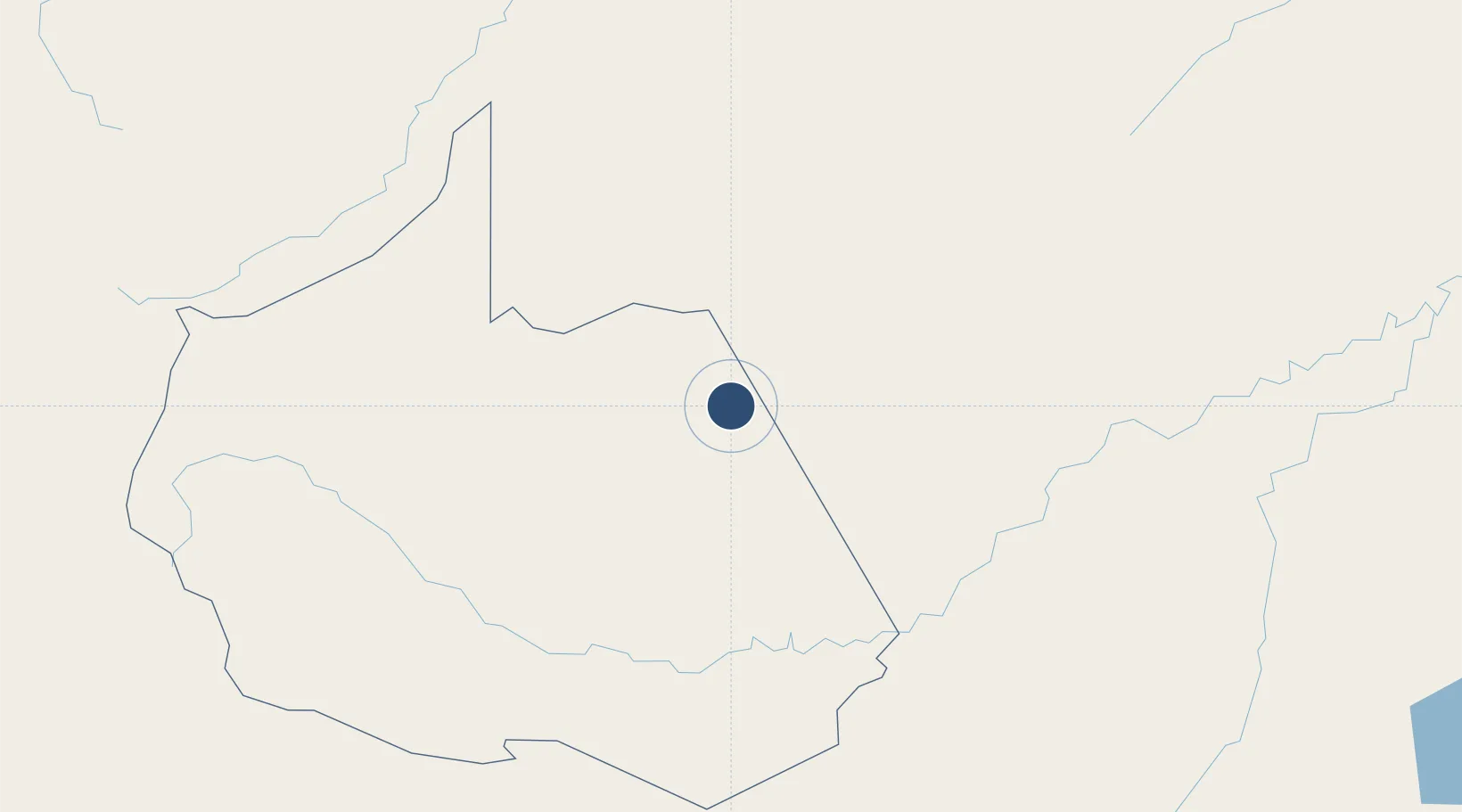
-11.4116°, -69.4887°
4,429 ft
Longest runway
1
Runways
750 ft
Elevation
Runway & Layout

Navaids
IBE NDB Iberia 202 kHz
Runways · 1
| Runway | Dimensions | Surface | True heading | Lit |
|---|---|---|---|---|
| 13/31 | 4,429 × 59ft | Asphalt | 126° | — |
Airport Specifications
IATA code
IBP
ICAO code
SPBR
Airport class
Medium airport
Scheduled service
No
Runway surface
Asphalt
Served city
Iberia
Location
Nearby Logistics Neighbours
Airports
Cities
- 1Assis Brasil54 km
- 2Epitaciolândia93 km
- 3Puerto Maldonado134 km
- 4Puerto Rico206 km
- 5Rio Branco245 km
Ports
- 1Bahia De Matarani683 km
- 2Puerto Ilo721 km
- 3Bahia San Nicolas754 km
- 4Rada De Arica790 km
- 5Conchan Oil Terminal822 km
DatabookThe Record of Consolidated Knowledge
Peru beyond logistics?