UN/LOCODE hub · Peru
PEPEM
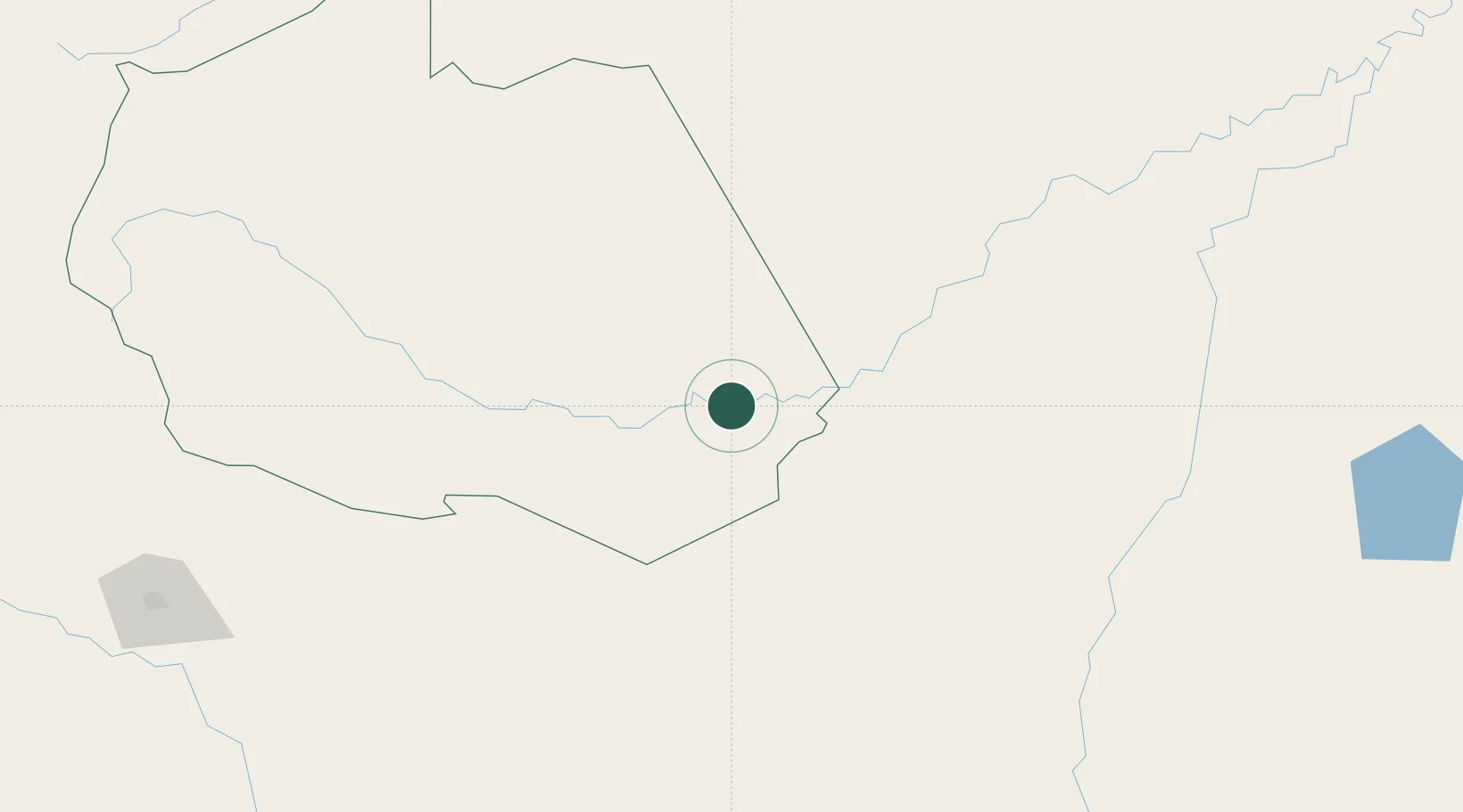
Puerto Maldonado
-12.5833°, -69.2000°
85,024
Population
3
Transport functions
Transport Functions
Port
Road
Airport
Hub Profile
Place type
Regional capital
Region
Madre de Dios
Population
85,024
Time zone
America/Lima
Elevation
193 m
Location
Nearby Logistics Neighbours
Cities
- 1Epitaciolândia182 km
- 2Assis Brasil187 km
- 3Puerto Rico239 km
- 4Rurrenabaque274 km
- 5Rio Branco329 km
Ports
- 1Bahia De Matarani583 km
- 2Puerto Ilo608 km
- 3Rada De Arica665 km
- 4Bahia San Nicolas715 km
- 5Conchan Oil Terminal848 km
Airports
- 1Padre Aldamiz International Airport5 km
- 2Iberia Airport134 km
- 3Capitán Aníbal Arab Airport178 km
- 4Puerto Rico Airport243 km
- 5Rurrenabaque Airport276 km
DatabookThe Record of Consolidated Knowledge
Peru beyond logistics?