Medium airport · Peru
Padre Aldamiz International AirportSPTU
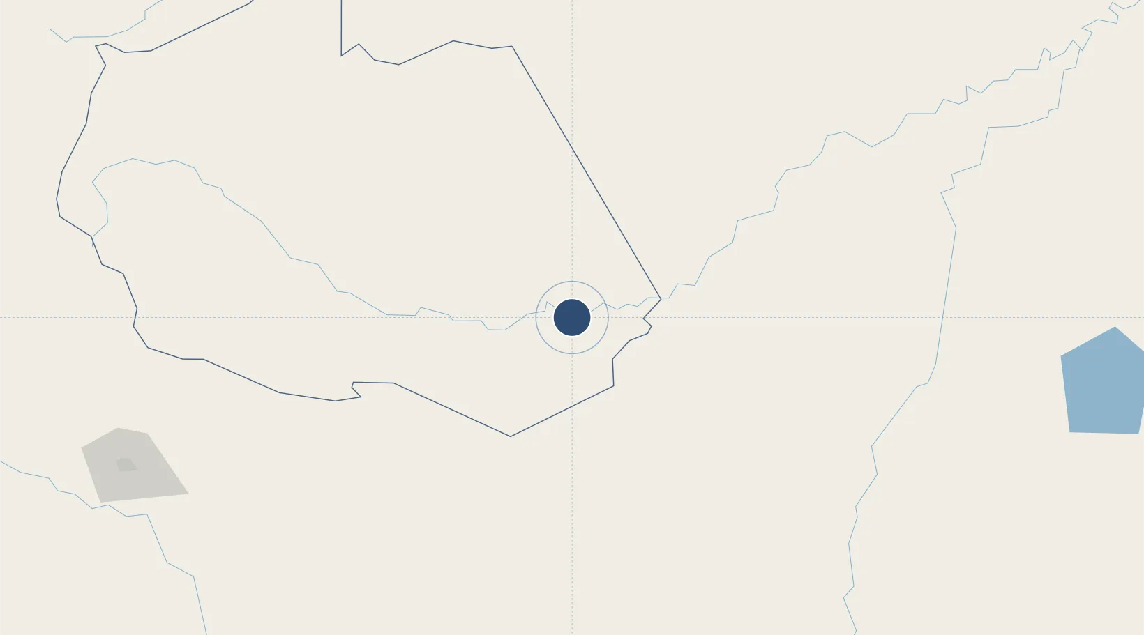
-12.6136°, -69.2286°
11,482 ft
Longest runway
1
Runways
659 ft
Elevation
Runway & Layout

Radio Frequencies
TWR
118.8 MHz
PUERTO MALDONADO TWR
APP
118.8 MHz
PUERTO MALDONADO APP
RDO
126.9 MHz
PUERTO MALDONADO RDO
Navaids
PDO VOR-DME Puerto Maldonado 116.10 MHz
Runways · 1
| Runway | Dimensions | Surface | True heading | Lit |
|---|---|---|---|---|
| 01/19 | 11,482 × 148ft | Concrete | 002° | ✓ |
Airport Specifications
IATA code
PEM
ICAO code
SPTU
Airport class
Medium airport
Scheduled service
Yes
Runway surface
Concrete
Served city
Puerto Maldonado
Location
Nearby Logistics Neighbours
Airports
- 1Iberia Airport137 km
- 2Capitán Aníbal Arab Airport182 km
- 3Puerto Rico Airport248 km
- 4Rurrenabaque Airport275 km
- 5Alejandro Velasco Astete International Airport311 km
Cities
- 1Puerto Maldonado5 km
- 2Epitaciolândia186 km
- 3Assis Brasil190 km
- 4Puerto Rico243 km
- 5Rurrenabaque273 km
Ports
- 1Bahia De Matarani578 km
- 2Puerto Ilo604 km
- 3Rada De Arica662 km
- 4Bahia San Nicolas711 km
- 5Conchan Oil Terminal845 km
DatabookThe Record of Consolidated Knowledge
Peru beyond logistics?