Export Processing Zone · Benin

Free Processing Zone of Benin Under Development
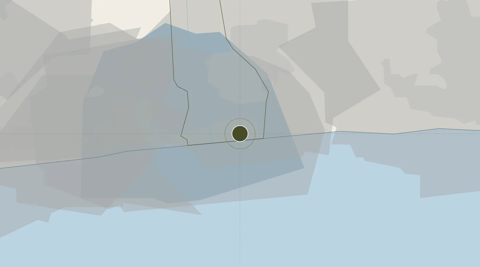
6.3821°, 2.6359°
230 ha
Zone area
22.7 km
Nearest port
27.9 km
Nearest airport

Gateway access

Nearest neighbours — logibook spatial index (haversine) over the source coordinates

Zone profile

Zone type
Export Processing Zone
Open Zone Map
Region
Ouémé
Open Zone Map
Status
Under Development
Open Zone Map
Management
Public
Open Zone Map
Operator
ZFI Benin S.A.
Open Zone Map
Legal framework
Decree No. 2003-400 of October 13 2003, Decree No. 2016-630 of October 12 2016
Open Zone Map

Location

Location of ozm-185
Natural Earth 10m (public domain) · Ouémé · ozm-185 · 6.38, 2.64GoogleOSMYandex

Nearby Logistics Neighbours

Ports
  1. 1Cotonou23 km
  2. 2Tin Can Island79 km
  3. 3Lagos85 km
  4. 4Kpeme125 km
  5. 5Lome152 km
Nearest neighbours — logibook spatial index (haversine) over the source coordinates
Airports
  1. 1Cotonou Cadjehoun International Airport28 km
  2. 2Murtala Muhammed International Airport79 km
  3. 3Lomé–Tokoin International Airport155 km
  4. 4Ibadan Airport184 km
  5. 5Ho Airport233 km
Nearest neighbours — logibook spatial index (haversine) over the source coordinates
Cities
  1. 1Porto-Novo12 km
  2. 2Akoko12 km
  3. 3Cotonou35 km
  4. 4Ado Odo41 km
  5. 5Igando70 km
Nearest neighbours — logibook spatial index (haversine) over the source coordinates
Trade Zones
  1. 1Sèmè-Podji Free Industrial Zone0 km
  2. 2Seme-Podji Export Processing Zone6 km
  3. 3Badagry Free Zone (Maritime Economic City)30 km
  4. 4Badagry Creek Integrated Industrial Park34 km
  5. 5Glo-Djigbé Special Economic Zone49 km
Nearest neighbours — logibook spatial index (haversine) over the source coordinates
DatabookThe Record of Consolidated Knowledge
Benin beyond logistics?
Browse databook

All Sources

Trade ZonesOpen Zone Map
CC BY
Portsthe NGA World Port Index
Public domain (US gov)
AirportsOurAirports
Public domain
LocationsUN/LOCODE
UN/LOCODE — free
← Benin trade zones