Transport Functions
Multimodal
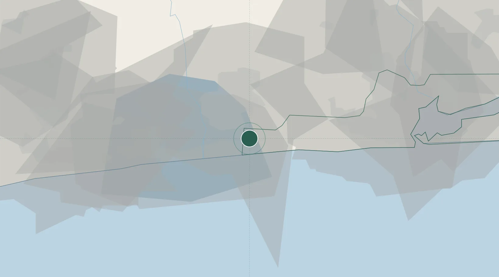
Hub Profile
Place type
Populated place
Region
Lagos
Time zone
Africa/Lagos
Elevation
9 m
Location
Nearby Logistics Neighbours
Cities
- 1Porto-Novo14 km
- 2Ado Odo29 km
- 3Cotonou45 km
- 4Igando59 km
- 5Ipaja60 km
Ports
- 1Cotonou34 km
- 2Tin Can Island69 km
- 3Lagos74 km
- 4Kpeme137 km
- 5Lome164 km
Airports
DatabookThe Record of Consolidated Knowledge
Nigeria beyond logistics?