Transport Functions
Multimodal
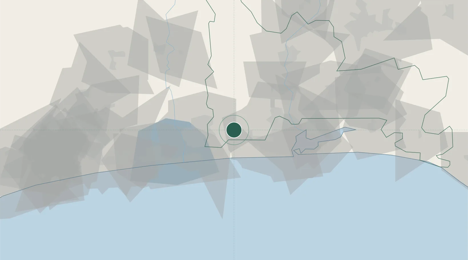
Hub Profile
Place type
Populated place
Region
Ogun State
Population
15,442
Time zone
Africa/Lagos
Elevation
25 m
Location
Nearby Logistics Neighbours
Cities
- 1Akoko29 km
- 2Sango Otta35 km
- 3Ipaja35 km
- 4Igando35 km
- 5Porto-Novo37 km
Ports
- 1Tin Can Island54 km
- 2Lagos56 km
- 3Cotonou62 km
- 4Kpeme163 km
- 5Lome190 km
Airports
Trade Zones
DatabookThe Record of Consolidated Knowledge
Nigeria beyond logistics?