Transport Functions
Port
Road
Hub Profile
Place type
Populated place
Region
Wallonia
Population
2,886
Time zone
Europe/Brussels
Elevation
24 m
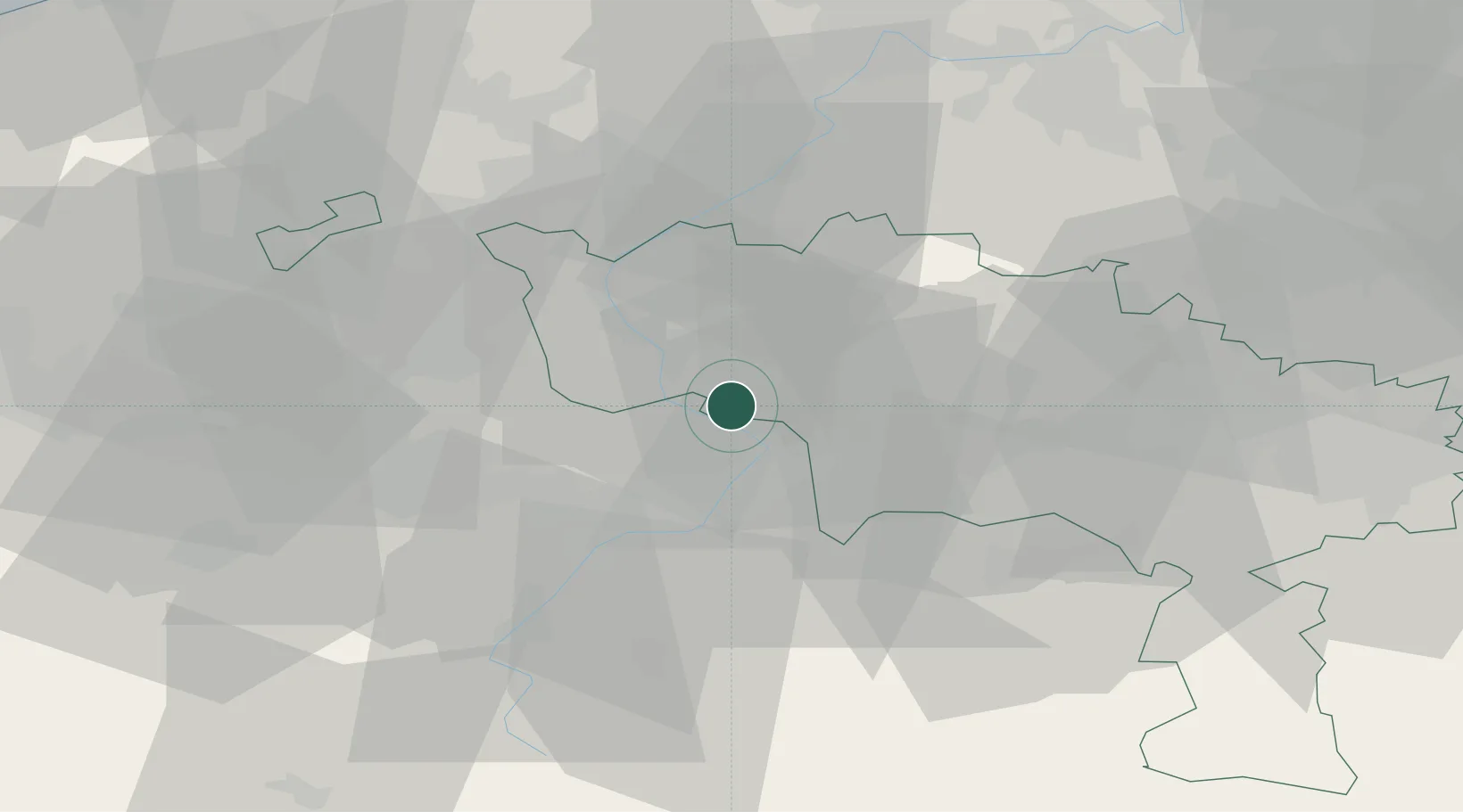
Location
Nearby Logistics Neighbours
Cities
- 1Roucourt5 km
- 2Mortagne-du-Nord6 km
- 3Nivelle6 km
- 4Maubray6 km
- 5Condé-sur-l'Escaut7 km
Ports
- 1Ghent65 km
- 2Bruxelles71 km
- 3Bruges85 km
- 4Nieuwpoort89 km
- 5Oostende92 km
Airports
DatabookThe Record of Consolidated Knowledge
Belgium beyond logistics?