Transport Functions
Multimodal
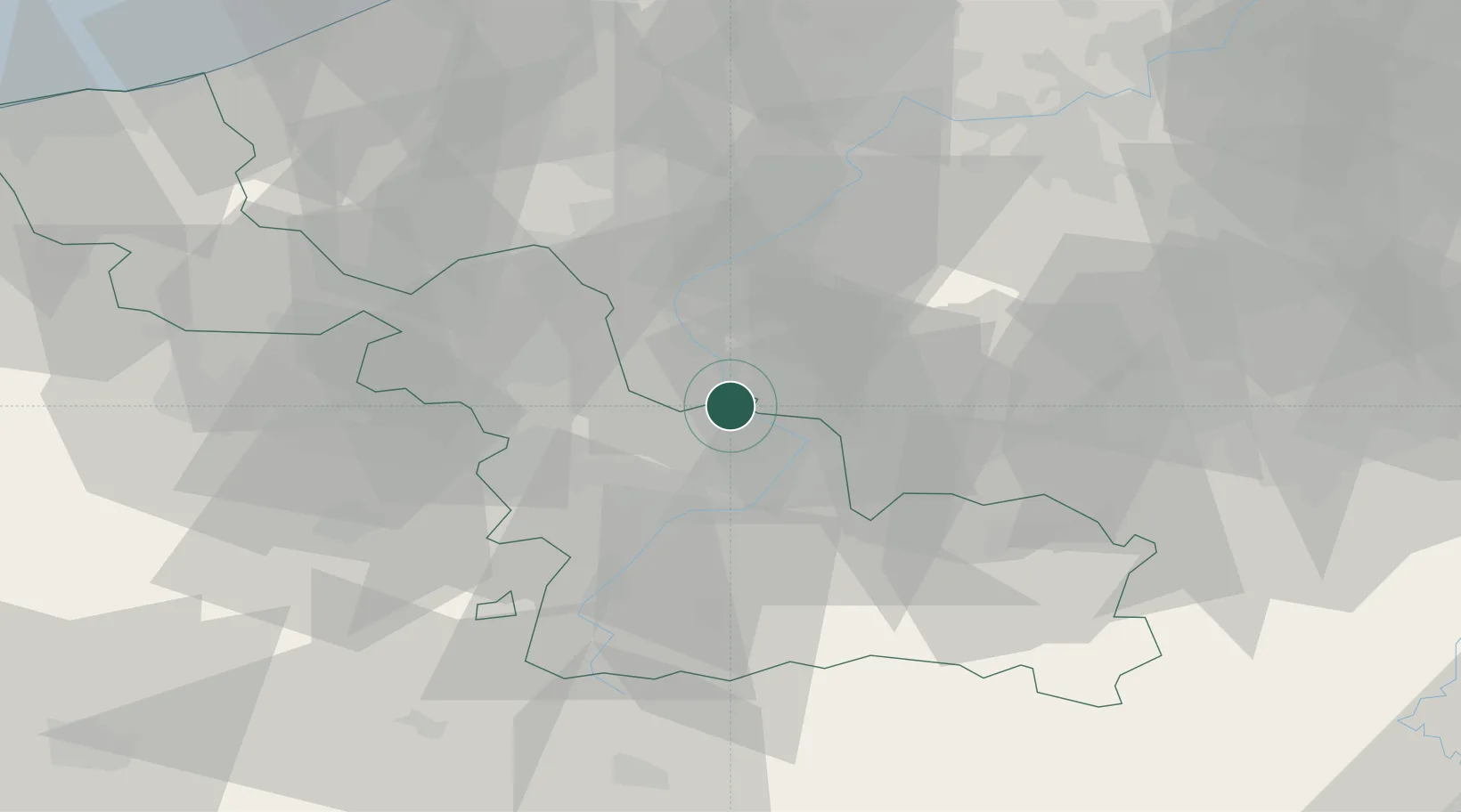
Hub Profile
Place type
Populated place
Region
Hauts-de-France
Population
1,646
Time zone
Europe/Paris
Elevation
16 m
Location
Nearby Logistics Neighbours
Ports
- 1Ghent66 km
- 2Bruxelles75 km
- 3Bruges83 km
- 4Nieuwpoort86 km
- 5Oostende90 km
Airports
DatabookThe Record of Consolidated Knowledge
France beyond logistics?