UN/LOCODE hub · France
FR2RJ
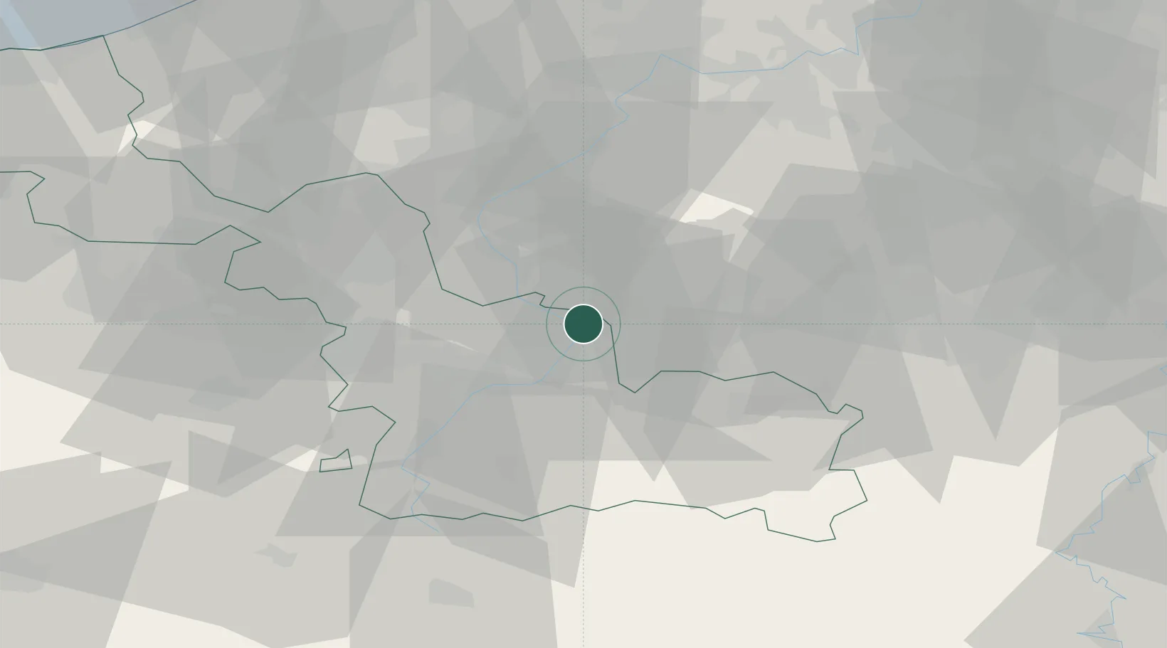
Condé-sur-l'Escaut
50.4500°, 3.5833°
10,215
Population
1
Transport functions
Transport Functions
Multimodal
Hub Profile
Place type
Populated place
Region
Hauts-de-France
Population
10,215
Time zone
Europe/Paris
Elevation
26 m
Location
Nearby Logistics Neighbours
Cities
- 1Fresnes-sur-Escaut2 km
- 2Escautpont4 km
- 3Hensies6 km
- 4Wiers7 km
- 5Blaton7 km
Ports
- 1Ghent69 km
- 2Bruxelles71 km
- 3Bruges91 km
- 4Nieuwpoort96 km
- 5Oostende99 km
Airports
DatabookThe Record of Consolidated Knowledge
France beyond logistics?