Transport Functions
Rail
Road
Hub Profile
Place type
Populated place
Region
Hauts-de-France
Time zone
Europe/Paris
Elevation
17 m
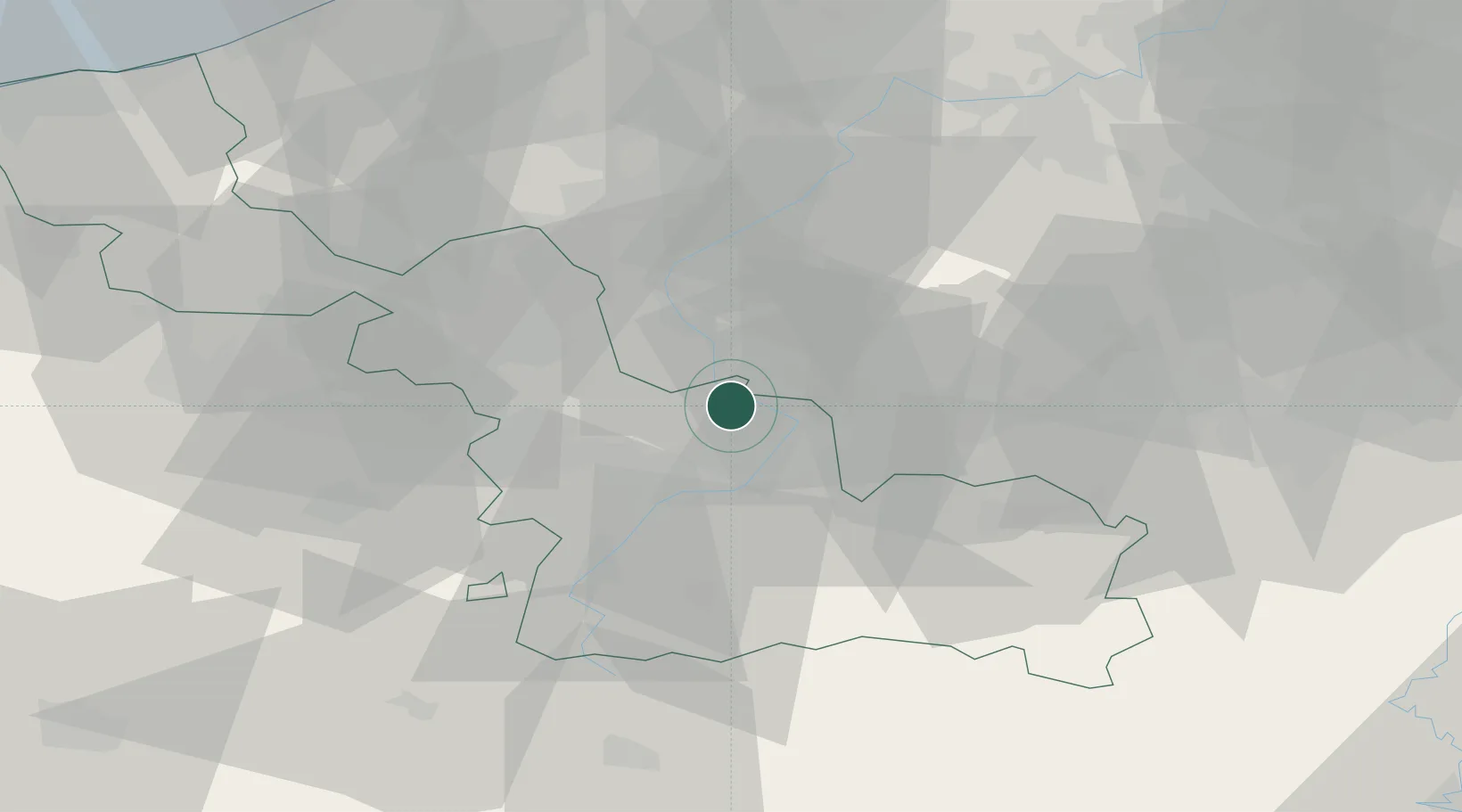
Location
Nearby Logistics Neighbours
Cities
- 1Mortagne-du-Nord4 km
- 2Wiers6 km
- 3Laplaigne6 km
- 4Bléharies7 km
- 5Rosult7 km
Ports
- 1Ghent69 km
- 2Bruxelles77 km
- 3Bruges87 km
- 4Nieuwpoort90 km
- 5Oostende94 km
Airports
DatabookThe Record of Consolidated Knowledge
France beyond logistics?