Transport Functions
Rail
Road
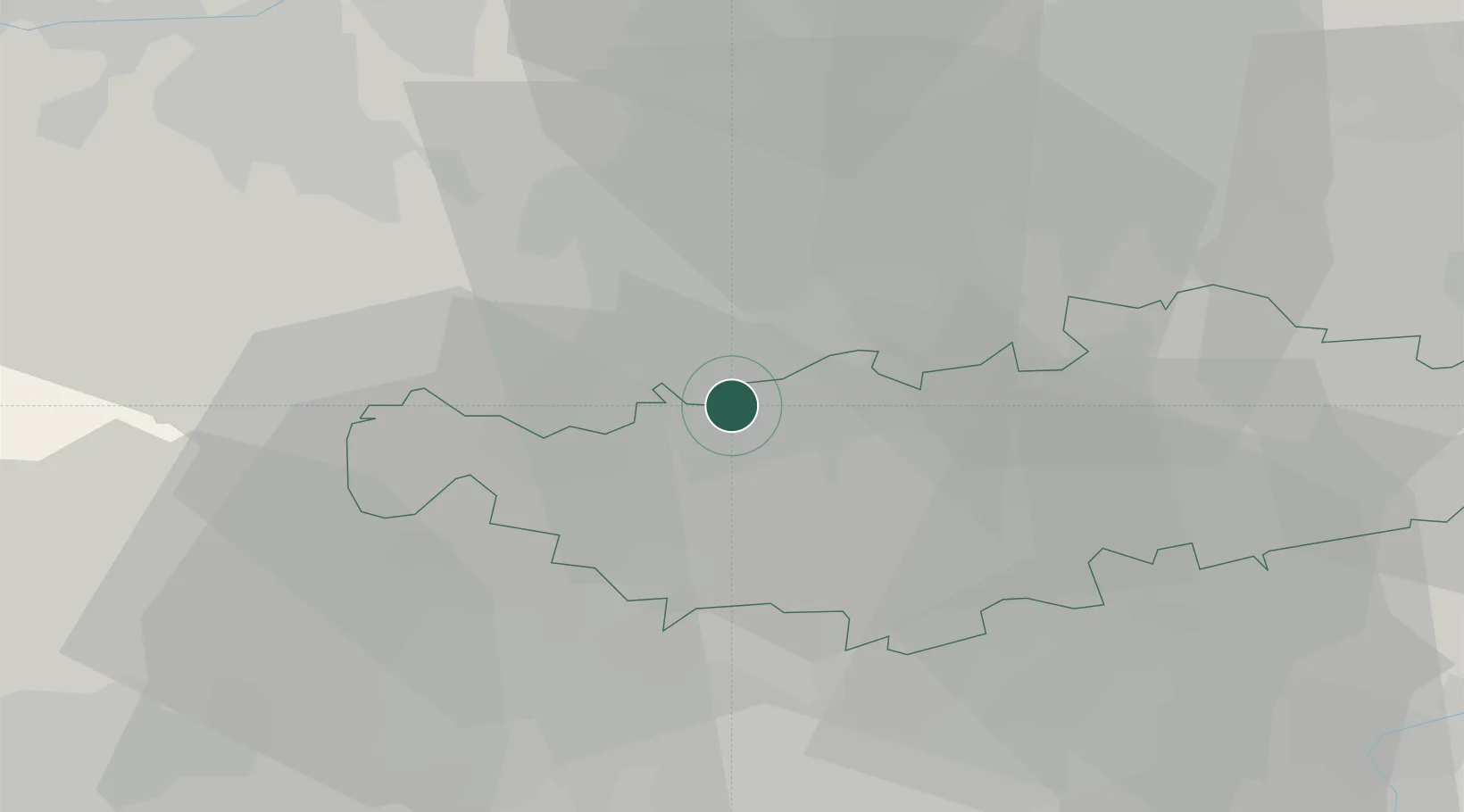
Hub Profile
Place type
Populated place
Region
Wallonia
Population
29,778
Time zone
Europe/Brussels
Elevation
119 m
Location
Nearby Logistics Neighbours
Cities
- 1Braine-l'Alleud4 km
- 2Ohain6 km
- 3Groenendaal7 km
- 4Wauthier-Braine7 km
- 5Maransart7 km
Airports
Trade Zones
DatabookThe Record of Consolidated Knowledge
Belgium beyond logistics?