Transport Functions
Rail
Road
Hub Profile
Place type
Populated place
Region
Flanders
Time zone
Europe/Brussels
Elevation
107 m
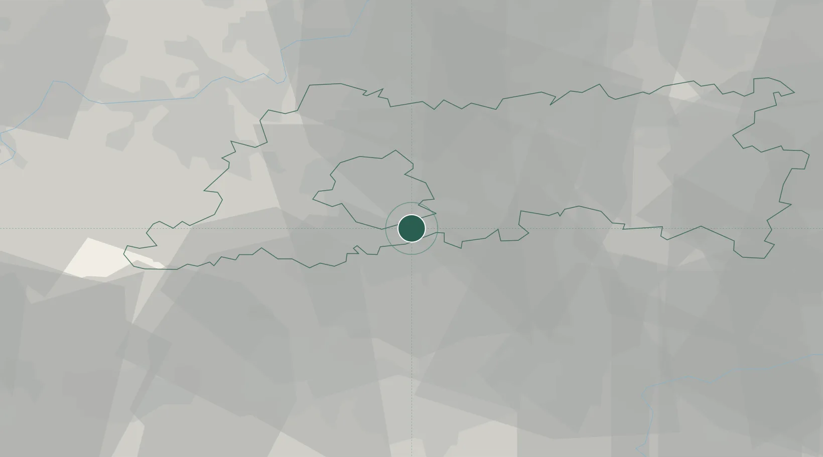
Location
Nearby Logistics Neighbours
Cities
- 1Auderghem (Oudergem)/Brussel (Bruxelles)6 km
- 2Waterloo7 km
- 3Ohain8 km
- 4Rixensart9 km
- 5Beersel9 km
Airports
Trade Zones
DatabookThe Record of Consolidated Knowledge
Belgium beyond logistics?