UN/LOCODE hub · Belgium
BEBLA
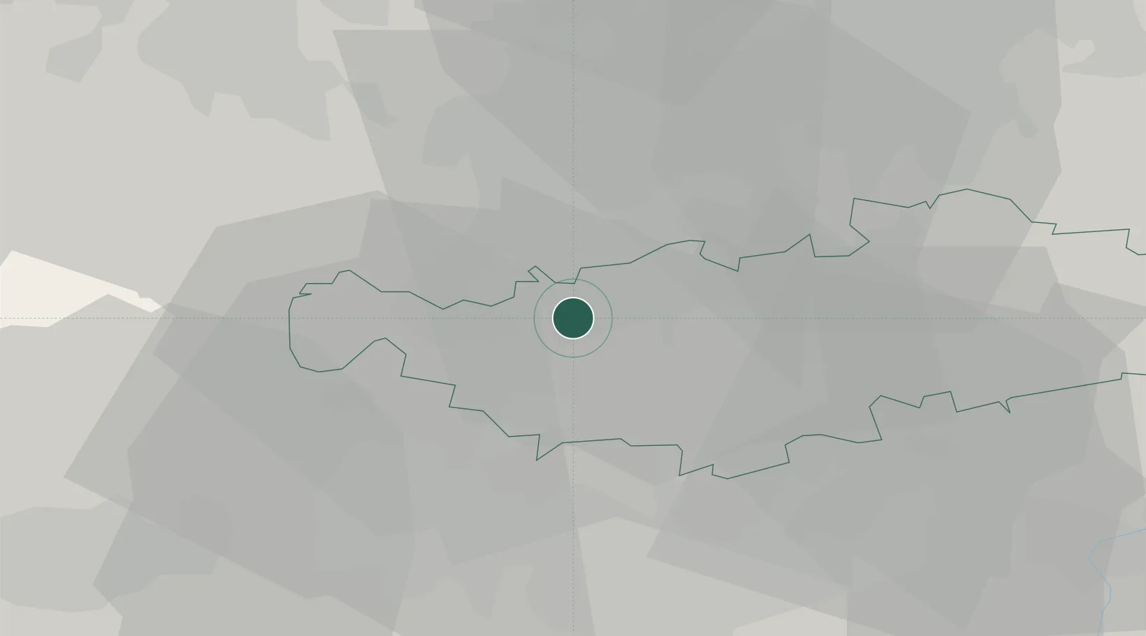
Braine-l'Alleud
50.6833°, 4.3667°
37,512
Population
2
Transport functions
Transport Functions
Rail
Road
Hub Profile
Place type
Populated place
Region
Wallonia
Population
37,512
Time zone
Europe/Brussels
Elevation
93 m
Location
Nearby Logistics Neighbours
Cities
- 1Lillois-Witterzée4 km
- 2Waterloo4 km
- 3Wauthier-Braine5 km
- 4Maransart6 km
- 5Braine-le-Château7 km
Airports
- 1Brussels South Charleroi Airport26 km
- 2Brussels Airport26 km
- 3Beauvechain Air Base30 km
- 4Chièvres Air Base40 km
- 5Florennes Air Base53 km
Trade Zones
DatabookThe Record of Consolidated Knowledge
Belgium beyond logistics?