Transport Functions
Port
Multimodal
Hub Profile
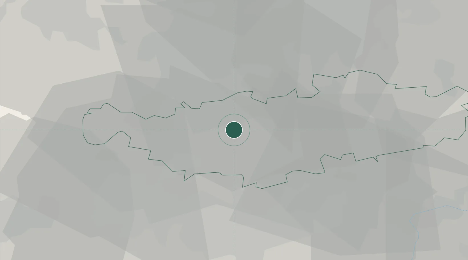
Place type
Populated place
Region
Wallonia
Population
964
Time zone
Europe/Brussels
Elevation
108 m
Location
Nearby Logistics Neighbours
Cities
- 1Ohain4 km
- 2Ways6 km
- 3Braine-l'Alleud6 km
- 4Lillois-Witterzée6 km
- 5Waterloo7 km
Airports
- 1Brussels South Charleroi Airport23 km
- 2Beauvechain Air Base25 km
- 3Brussels Airport26 km
- 4Chièvres Air Base45 km
- 5Florennes Air Base49 km
Trade Zones
DatabookThe Record of Consolidated Knowledge
Belgium beyond logistics?