Transport Functions
Multimodal
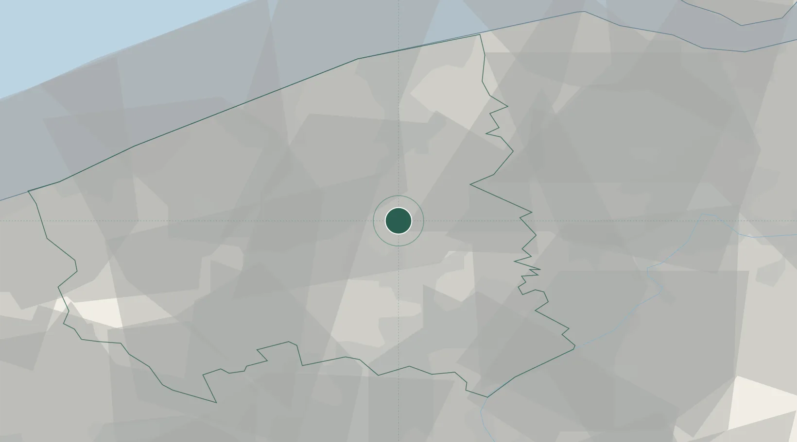
Hub Profile
Place type
Populated place
Region
Flanders
Population
5,873
Time zone
Europe/Brussels
Elevation
38 m
Location
Nearby Logistics Neighbours
Ports
- 1Bruges22 km
- 2Oostende30 km
- 3Nieuwpoort33 km
- 4Zeebrugge33 km
- 5Ghent38 km
Airports
Trade Zones
- 1ZFU Tourcoing35 km
- 2ZFU Hem et Roubaix38 km
- 3ZFU de Lille et de Loos47 km
- 4ZFU Saint Pol sur Mer61 km
- 5ZFU Condé sur lEscaut68 km
DatabookThe Record of Consolidated Knowledge
Belgium beyond logistics?