Transport Functions
Rail
Road
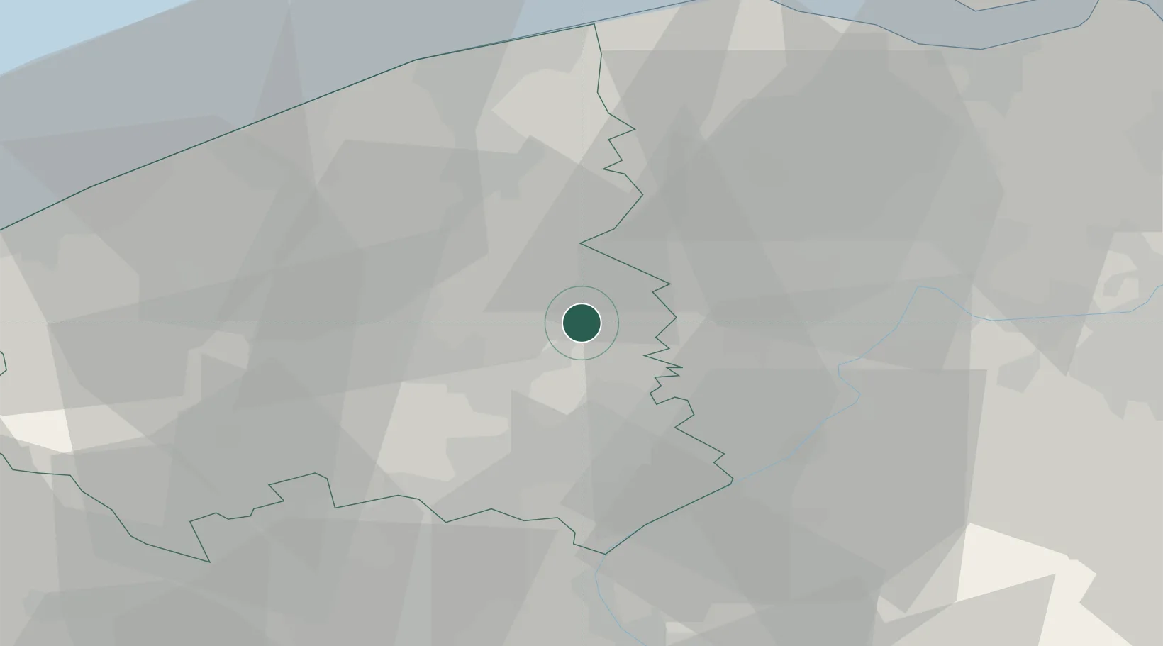
Hub Profile
Place type
District seat
Region
Flanders
Population
19,299
Time zone
Europe/Brussels
Elevation
46 m
Location
Nearby Logistics Neighbours
Cities
- 1Wingene9 km
- 2Zwevezele10 km
- 3Gottem10 km
- 4Oeselgem10 km
- 5Ingelmunster11 km
Ports
- 1Bruges27 km
- 2Ghent29 km
- 3Zeebrugge38 km
- 4Oostende39 km
- 5Nieuwpoort43 km
Airports
Trade Zones
DatabookThe Record of Consolidated Knowledge
Belgium beyond logistics?