Transport Functions
Port
Road
Hub Profile
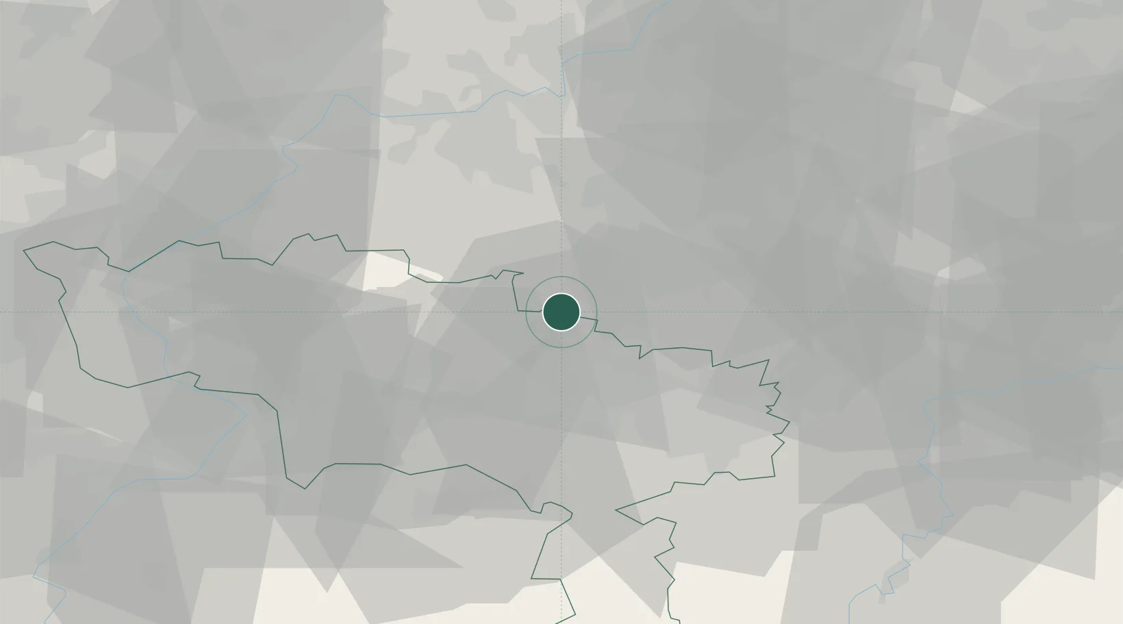
Place type
Populated place
Region
Wallonia
Population
2,763
Time zone
Europe/Brussels
Elevation
136 m
Location
Nearby Logistics Neighbours
Cities
- 1Oisquercq4 km
- 2Ronquières4 km
- 3Tubize6 km
- 4Clabecq6 km
- 5Itter (Ittre)6 km
Airports
- 1Chièvres Air Base26 km
- 2Brussels South Charleroi Airport27 km
- 3Brussels Airport37 km
- 4Beauvechain Air Base44 km
- 5Florennes Air Base54 km
Trade Zones
DatabookThe Record of Consolidated Knowledge
Belgium beyond logistics?