Transport Functions
Rail
Road
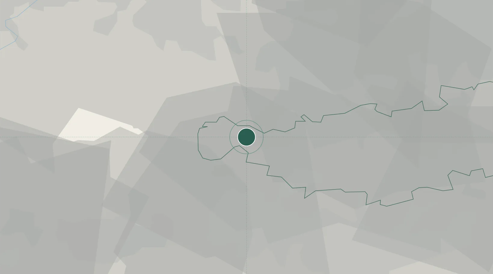
Hub Profile
Place type
Local administrative seat
Region
Wallonia
Population
18,000
Time zone
Europe/Brussels
Elevation
39 m
Location
Nearby Logistics Neighbours
Cities
- 1Clabecq1 km
- 2Oisquercq2 km
- 3Lembeek4 km
- 4Braine-le-Château5 km
- 5Virginal-Samme6 km
Airports
- 1Chièvres Air Base29 km
- 2Brussels South Charleroi Airport31 km
- 3Brussels Airport31 km
- 4Beauvechain Air Base41 km
- 5Florennes Air Base58 km
Trade Zones
DatabookThe Record of Consolidated Knowledge
Belgium beyond logistics?