Transport Functions
Port
Rail
Road
Hub Profile
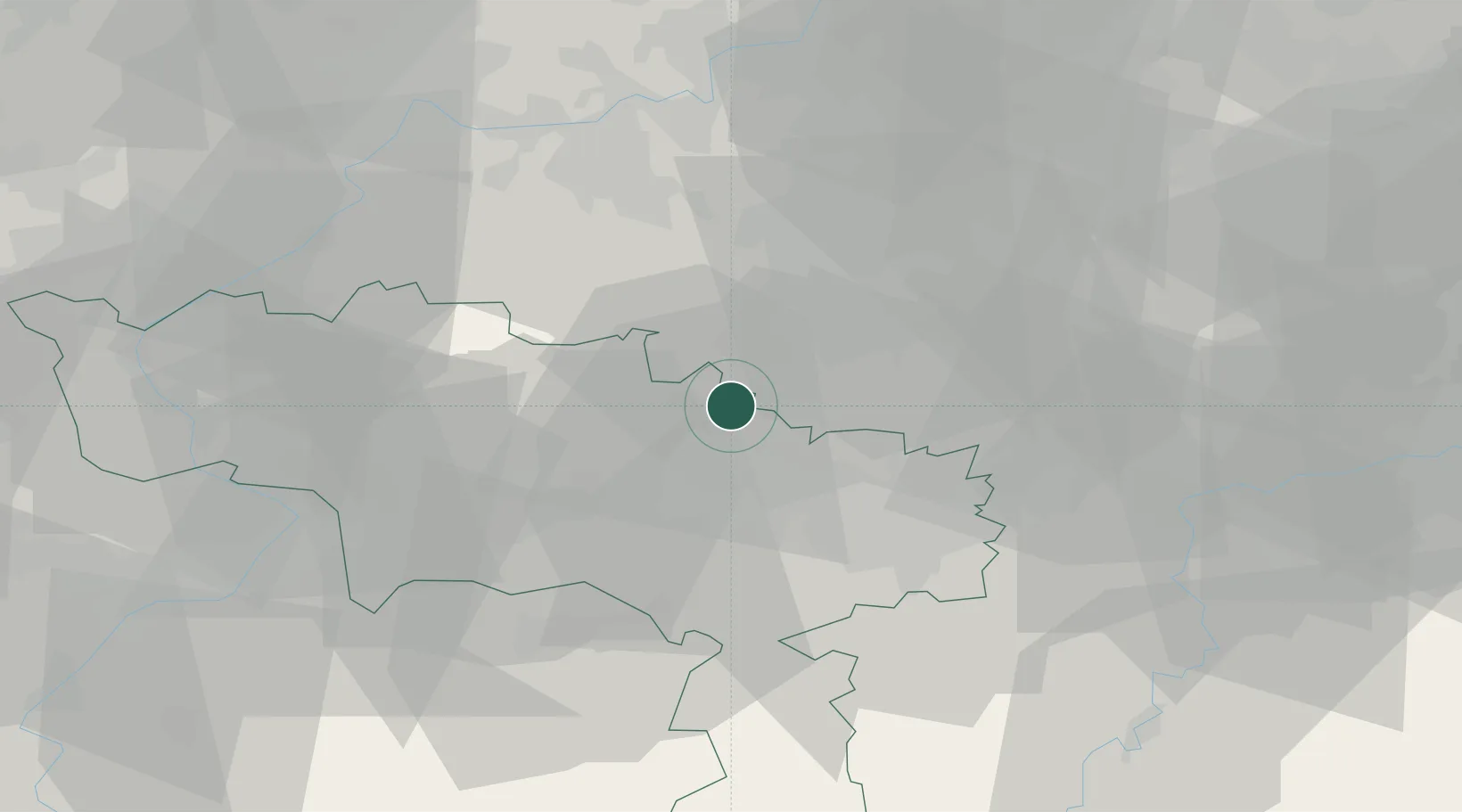
Place type
Populated place
Region
Wallonia
Population
1,369
Time zone
Europe/Brussels
Elevation
61 m
Location
Nearby Logistics Neighbours
Cities
- 1Virginal-Samme4 km
- 2Feluy4 km
- 3Écaussinnes-Lalaing4 km
- 4Écaussinnes-d'Enghien5 km
- 5Itter (Ittre)7 km
Airports
- 1Brussels South Charleroi Airport23 km
- 2Chièvres Air Base27 km
- 3Brussels Airport38 km
- 4Beauvechain Air Base43 km
- 5Florennes Air Base50 km
Trade Zones
DatabookThe Record of Consolidated Knowledge
Belgium beyond logistics?