Transport Functions
Port
Road
Hub Profile
Region
WBR
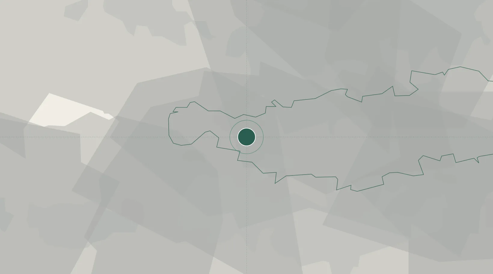
Location
Nearby Logistics Neighbours
Cities
- 1Braine-le-Château4 km
- 2Oisquercq4 km
- 3Wauthier-Braine4 km
- 4Clabecq5 km
- 5Tubize6 km
Airports
- 1Brussels South Charleroi Airport25 km
- 2Chièvres Air Base32 km
- 3Brussels Airport32 km
- 4Beauvechain Air Base37 km
- 5Florennes Air Base53 km
Trade Zones
DatabookThe Record of Consolidated Knowledge
Belgium beyond logistics?