Transport Functions
Rail
Road
Multimodal
Hub Profile
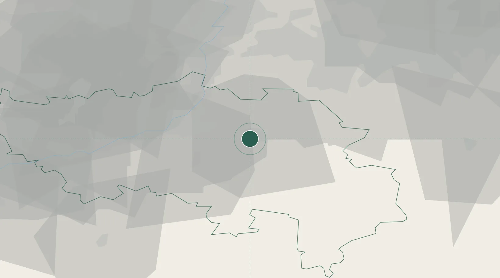
Place type
Populated place
Region
Wallonia
Population
4,690
Time zone
Europe/Brussels
Elevation
194 m
Location
Nearby Logistics Neighbours
Cities
- 1Spa9 km
- 2Beyne-Heusay15 km
- 3Vaux-sous-Chèvremont15 km
- 4Argenteau17 km
- 5Sint-Pieters-Voeren17 km
Airports
- 1Liège Airport29 km
- 2Maastricht Aachen Airport37 km
- 3Geilenkirchen Air Base44 km
- 4Nörvenich Air Base63 km
- 5Kleine Brogel Air Base70 km
Trade Zones
- 1Rheinische Revier SWZ52 km
- 2Luxembourg Free Port108 km
- 3Freeport of Duisburg109 km
- 4ZFU Ronde Couture123 km
- 5ZFU Maubeuge, Louvroil140 km
DatabookThe Record of Consolidated Knowledge
Belgium beyond logistics?