Transport Functions
Port
Road
Hub Profile
Place type
Populated place
Region
Flanders
Time zone
Europe/Brussels
Elevation
5 m
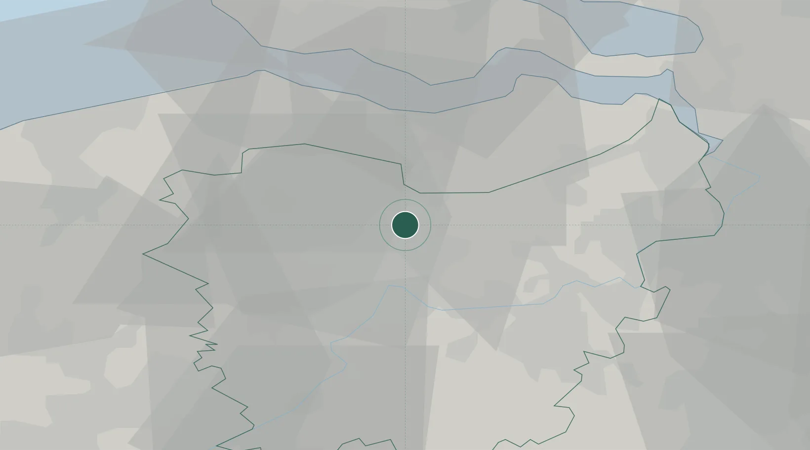
Location
Nearby Logistics Neighbours
Cities
- 1Rieme2 km
- 2Gent (Ghent)3 km
- 3Ertvelde4 km
- 4Langerbrugge5 km
- 5Langelede6 km
Ports
- 1Ghent10 km
- 2Terneuzen22 km
- 3Vlissingen36 km
- 4Hansweert37 km
- 5Bruges41 km
Airports
Trade Zones
DatabookThe Record of Consolidated Knowledge
Belgium beyond logistics?