Transport Functions
Port
Rail
Road
Airport
Hub Profile
Region
VOV
Logistics facilities
6
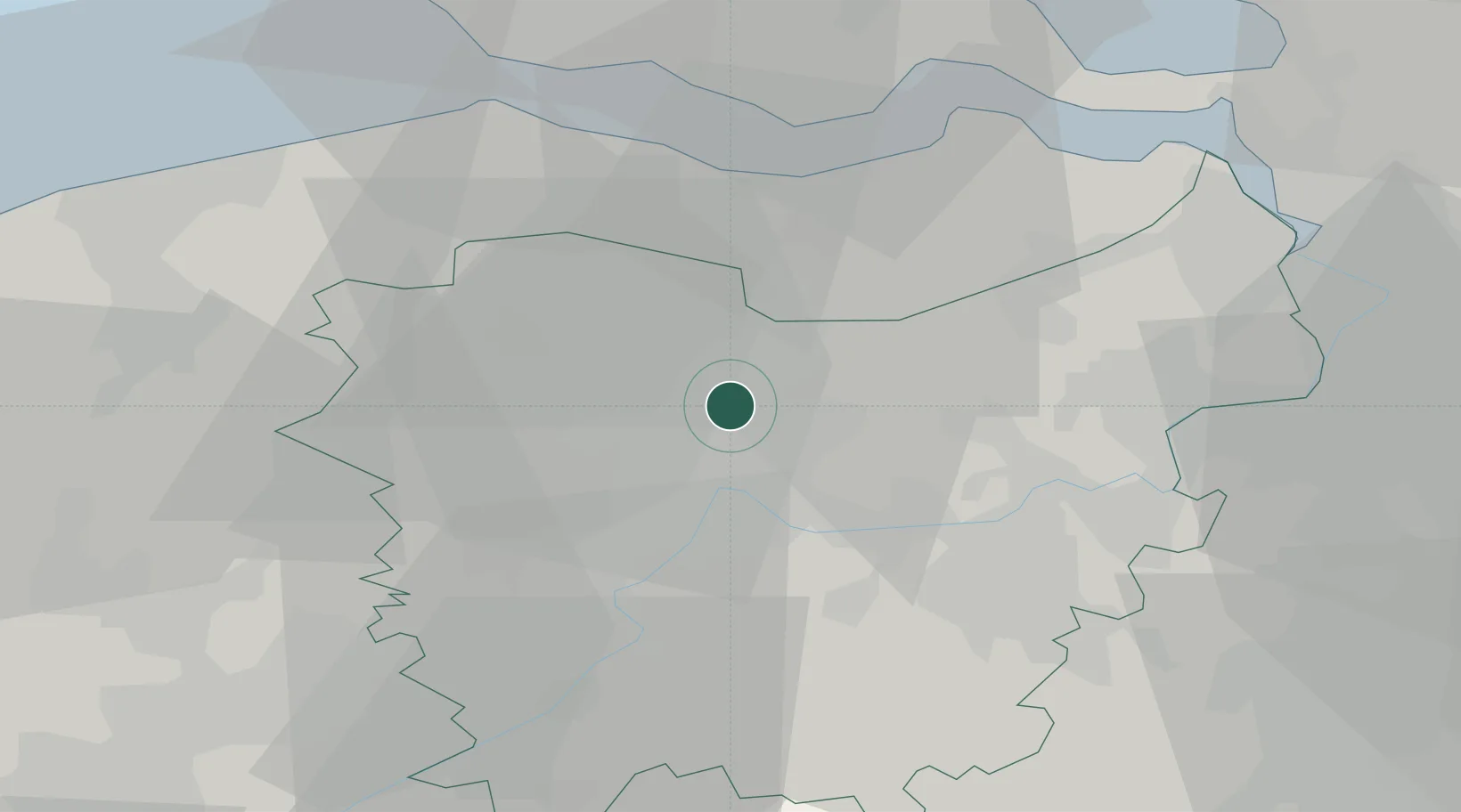
Location
Nearby Logistics Neighbours
Cities
- 1Langerbrugge2 km
- 2Terdonk3 km
- 3Evergem5 km
- 4Rieme5 km
- 5Wondelgem6 km
Ports
- 1Terneuzen25 km
- 2Vlissingen38 km
- 3Hansweert40 km
- 4Bruges40 km
- 5Antwerpen45 km
Airports
Trade Zones
DatabookThe Record of Consolidated Knowledge
Belgium beyond logistics?