UN/LOCODE hub · Belgium
BESJB
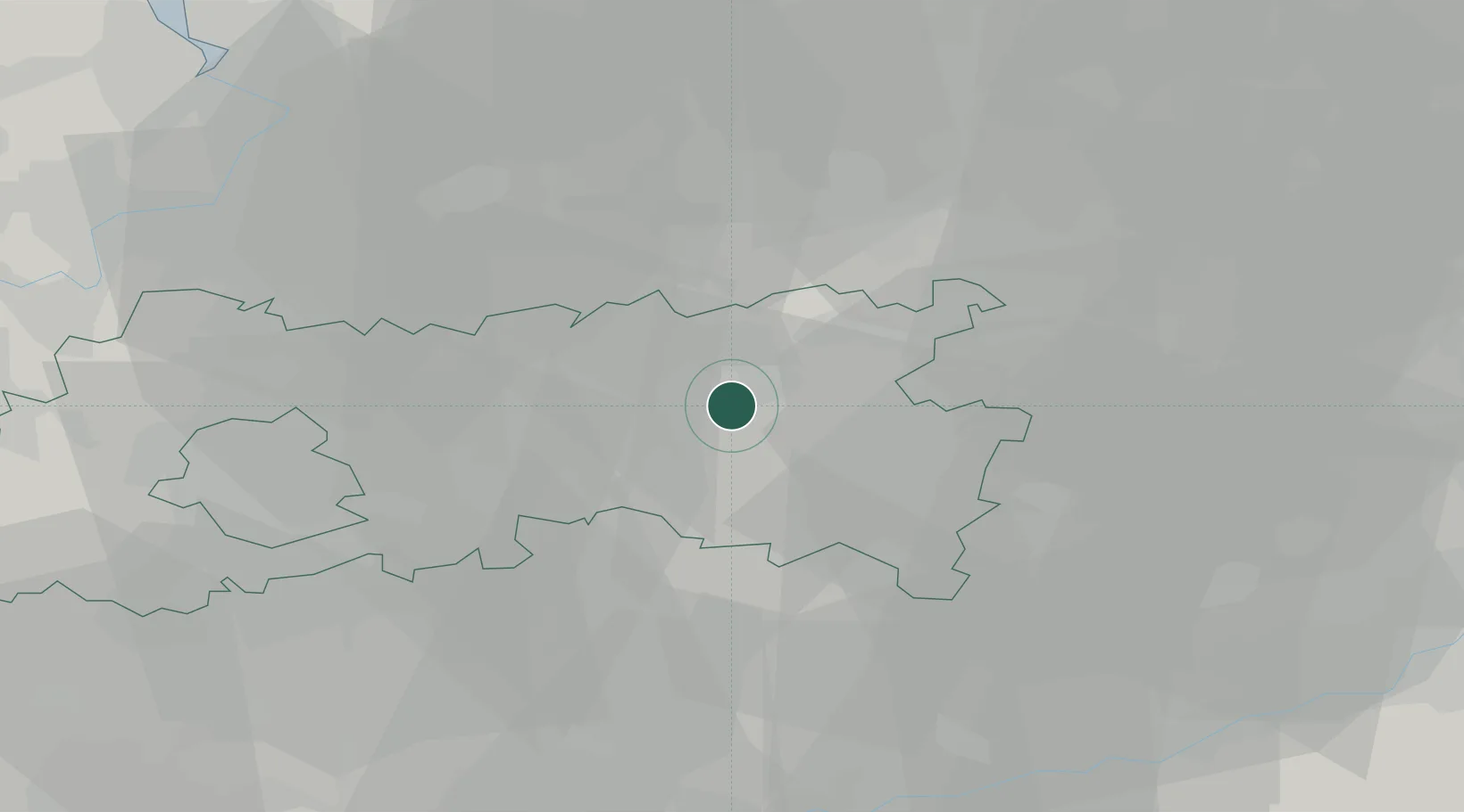
Sint Joris Winge
50.9167°, 4.8667°
2,908
Population
1
Transport functions
Transport Functions
Multimodal
Hub Profile
Place type
Populated place
Region
Flanders
Population
2,908
Time zone
Europe/Brussels
Elevation
47 m
Location
Nearby Logistics Neighbours
Cities
- 1Linden8 km
- 2Wijgmaal12 km
- 3Leuven12 km
- 4Tildonk17 km
- 5Westmeerbeek17 km
Airports
- 1Beauvechain Air Base19 km
- 2Brussels Airport27 km
- 3Antwerp International Airport (Deurne)42 km
- 4Kleine Brogel Air Base51 km
- 5Liège Airport51 km
Trade Zones
- 1ZFU Maubeuge, Louvroil98 km
- 2ZFU Condé sur lEscaut104 km
- 3Rheinische Revier SWZ106 km
- 4ZFU Tourcoing122 km
- 5ZFU Hem et Roubaix122 km
DatabookThe Record of Consolidated Knowledge
Belgium beyond logistics?