Transport Functions
Port
Road
Hub Profile
Place type
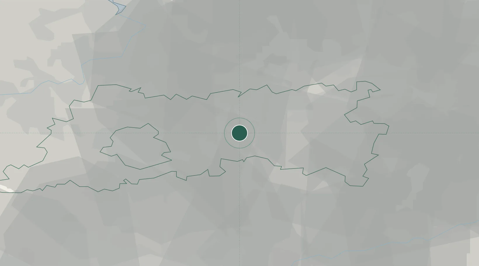
Populated place
Region
Flanders
Population
101,032
Time zone
Europe/Brussels
Elevation
28 m
Location
Nearby Logistics Neighbours
Cities
- 1Linden5 km
- 2Wijgmaal6 km
- 3Tildonk9 km
- 4Sint Joris Winge12 km
- 5Nossegem13 km
Airports
- 1Beauvechain Air Base15 km
- 2Brussels Airport15 km
- 3Antwerp International Airport (Deurne)38 km
- 4Brussels South Charleroi Airport50 km
- 5Liège Airport59 km
Trade Zones
- 1ZFU Maubeuge, Louvroil88 km
- 2ZFU Condé sur lEscaut92 km
- 3ZFU Tourcoing110 km
- 4ZFU Hem et Roubaix110 km
- 5ZFU Denain, Douchy-les-Mines, Escaudain et Lourches113 km
DatabookThe Record of Consolidated Knowledge
Belgium beyond logistics?