UN/LOCODE hub · Belgium
BEELA
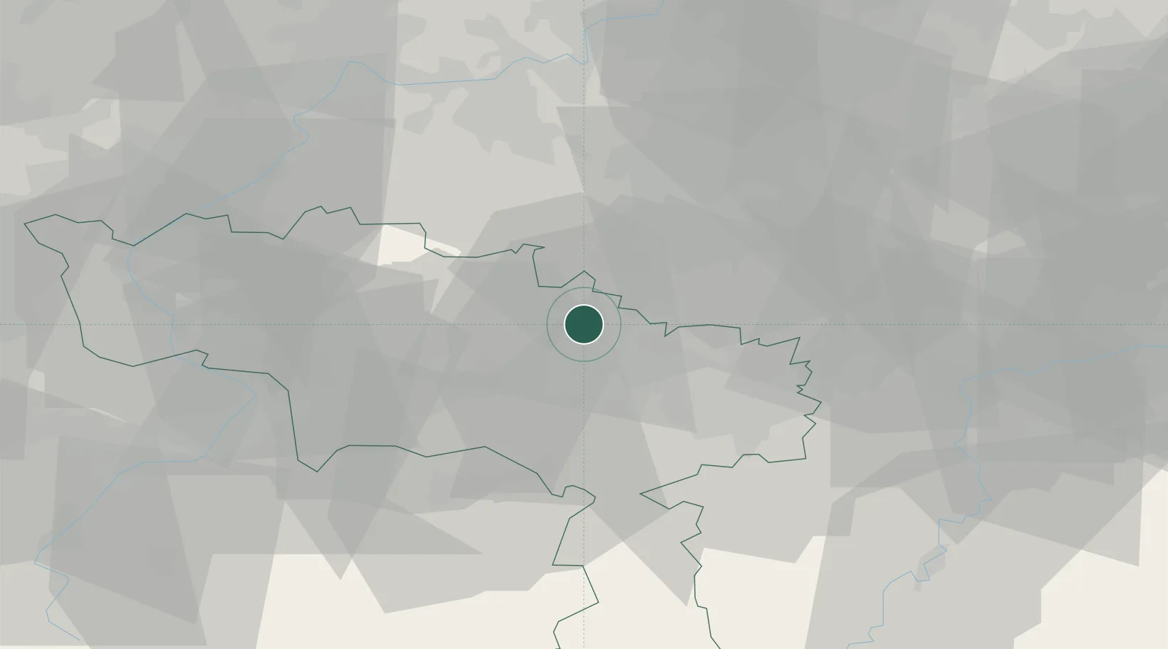
Écaussinnes-Lalaing
50.5667°, 4.1833°
1,119
Population
2
Transport functions
Transport Functions
Rail
Road
Hub Profile
Place type
Populated place
Region
Wallonia
Population
1,119
Time zone
Europe/Brussels
Elevation
103 m
Location
Nearby Logistics Neighbours
Cities
- 1Écaussinnes-d'Enghien1 km
- 2Ronquières4 km
- 3Feluy5 km
- 4Soudromont7 km
- 5Seneffe7 km
Airports
- 1Brussels South Charleroi Airport23 km
- 2Chièvres Air Base25 km
- 3Brussels Airport43 km
- 4Beauvechain Air Base46 km
- 5Florennes Air Base49 km
Trade Zones
DatabookThe Record of Consolidated Knowledge
Belgium beyond logistics?