Transport Functions
Port
Road
Hub Profile
Place type
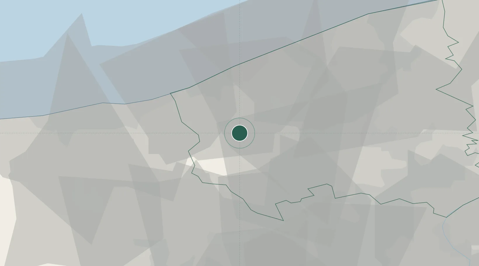
Populated place
Region
Flanders
Population
656
Time zone
Europe/Brussels
Elevation
8 m
Location
Nearby Logistics Neighbours
Cities
- 1Reninge4 km
- 2Fortem6 km
- 3Sint-Jacobs-Kapelle7 km
- 4Merkem8 km
- 5Roesbrugge10 km
Ports
- 1Nieuwpoort19 km
- 2Dunkerque Port Est29 km
- 3Oostende32 km
- 4Gravelines43 km
- 5Bruges45 km
Airports
Trade Zones
DatabookThe Record of Consolidated Knowledge
Belgium beyond logistics?