Transport Functions
Port
Road
Hub Profile
Region
VWV
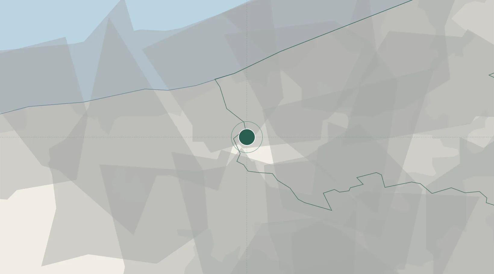
Location
Nearby Logistics Neighbours
Cities
- 1Roesbrugge-Haringe0 km
- 2Herzeele7 km
- 3Pollinkhove10 km
- 4Reninge12 km
- 5Wormhout13 km
Ports
- 1Dunkerque Port Est25 km
- 2Nieuwpoort26 km
- 3Gravelines36 km
- 4Oostende41 km
- 5Calais54 km
Airports
Trade Zones
- 1ZFU Saint Pol sur Mer24 km
- 2ZFU de Lille et de Loos42 km
- 3ZFU Tourcoing44 km
- 4ZFU Hem et Roubaix46 km
- 5ZFU Calais55 km
DatabookThe Record of Consolidated Knowledge
Belgium beyond logistics?