UN/LOCODE hub · Belgium
BEJKP
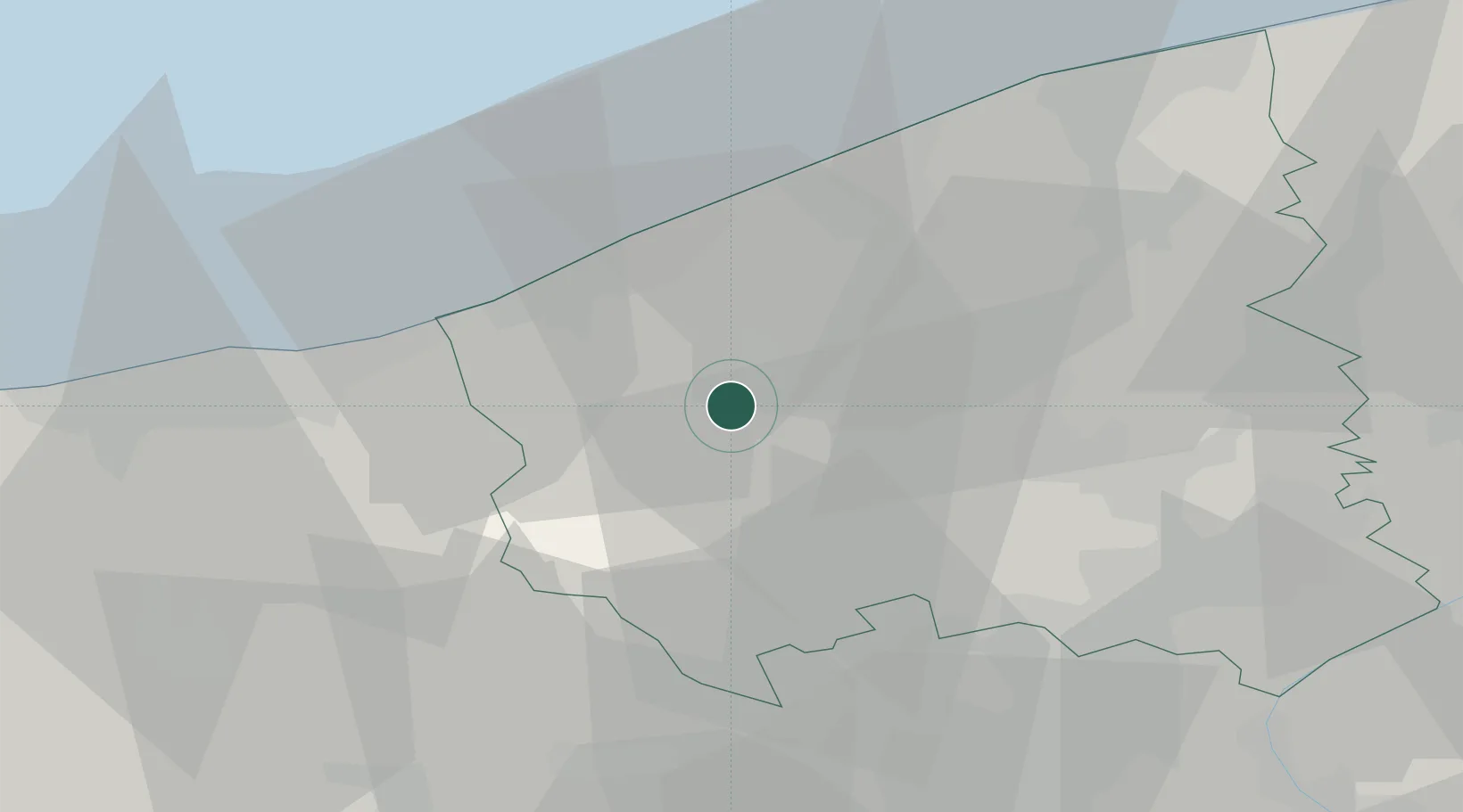
Sint-Jacobs-Kapelle
51.0000°, 2.8167°
109
Population
3
Transport functions
Transport Functions
Port
Rail
Road
Hub Profile
Place type
Populated place
Region
Flanders
Population
109
Time zone
Europe/Brussels
Elevation
2 m
Location
Nearby Logistics Neighbours
Ports
- 1Nieuwpoort16 km
- 2Oostende27 km
- 3Dunkerque Port Est34 km
- 4Bruges38 km
- 5Zeebrugge46 km
Airports
Trade Zones
DatabookThe Record of Consolidated Knowledge
Belgium beyond logistics?