UN/LOCODE hub · Belgium
BEODE

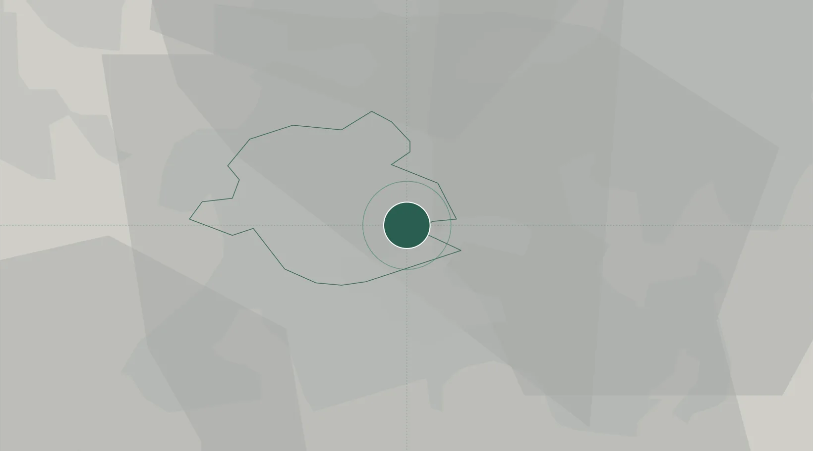
Auderghem (Oudergem)/Brussel (Bruxelles)

50.8167°, 4.4333°
2
Transport functions

Transport Functions

Port
Road
UN/LOCODE

Hub Profile

Region
BRU
GeoNames

Location

Location of BEODE
Natural Earth 10m (public domain) · BRU · BEODE · 50.82, 4.43GoogleOSMYandex

Nearby Logistics Neighbours

Cities
  1. 1Groenendaal6 km
  2. 2Haren8 km
  3. 3Marly8 km
  4. 4Brussel (Bruxelles)8 km
  5. 5Molenbeek-Saint-Jean (Sint-Jans-Molenbeek)/Brussel (Bruxelles)9 km
Nearest neighbours — logibook spatial index (haversine) over the source coordinates
Ports
  1. 1Bruxelles8 km
  2. 2Antwerpen45 km
  3. 3Ghent56 km
  4. 4Terneuzen73 km
  5. 5Hansweert77 km
Nearest neighbours — logibook spatial index (haversine) over the source coordinates
Airports
  1. 1Brussels Airport10 km
  2. 2Beauvechain Air Base24 km
  3. 3Brussels South Charleroi Airport40 km
  4. 4Antwerp International Airport (Deurne)42 km
  5. 5Chièvres Air Base50 km
Nearest neighbours — logibook spatial index (haversine) over the source coordinates
Trade Zones
  1. 1ZFU Maubeuge, Louvroil71 km
  2. 2ZFU Condé sur lEscaut72 km
  3. 3ZFU Hem et Roubaix90 km
  4. 4ZFU Tourcoing90 km
  5. 5ZFU Denain, Douchy-les-Mines, Escaudain et Lourches93 km
Nearest neighbours — logibook spatial index (haversine) over the source coordinates
DatabookThe Record of Consolidated Knowledge
Belgium beyond logistics?
Browse databook

All Sources

LocationsUN/LOCODE
UN/LOCODE — free
Portsthe NGA World Port Index
Public domain (US gov)
AirportsOurAirports
Public domain
Trade Zonesthe World Bank SEZ database
CC BY 4.0
Trade ZonesOpen Zone Map
CC BY
← Belgium locations