Transport Functions
Port
Hub Profile
Region
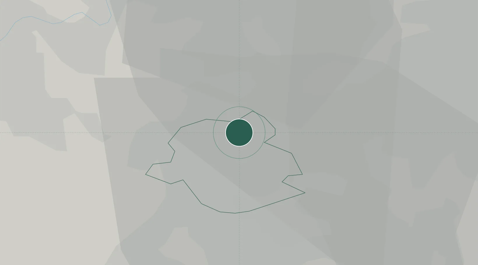
VBR
Location
Nearby Logistics Neighbours
Cities
- 1Brussel (Bruxelles)0 km
- 2Neder-Over-Heembeek2 km
- 3Haren2 km
- 4Jette/Brussel (Bruxelles)5 km
- 5Grimbergen6 km
Airports
Trade Zones
DatabookThe Record of Consolidated Knowledge
Belgium beyond logistics?