UN/LOCODE hub · Belgium
BEMSJ

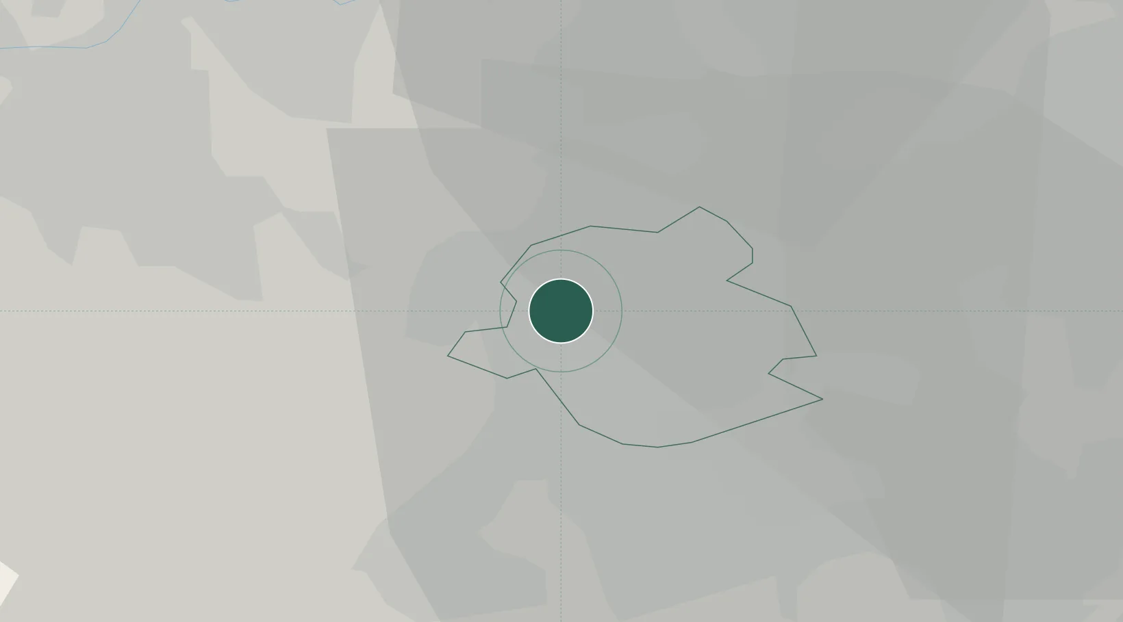
Molenbeek-Saint-Jean (Sint-Jans-Molenbeek)/Brussel (Bruxelles)

50.8500°, 4.3167°
2
Transport functions

Transport Functions

Port
Road
UN/LOCODE

Hub Profile

Region
BRU
GeoNames

Location

Location of BEMSJ
Natural Earth 10m (public domain) · BRU · BEMSJ · 50.85, 4.32GoogleOSMYandex

Nearby Logistics Neighbours

Cities
  1. 1Jette/Brussel (Bruxelles)2 km
  2. 2Groot Bijgaarden4 km
  3. 3Marly6 km
  4. 4Brussel (Bruxelles)6 km
  5. 5Neder-Over-Heembeek7 km
Nearest neighbours — logibook spatial index (haversine) over the source coordinates
Ports
  1. 1Bruxelles3 km
  2. 2Antwerpen41 km
  3. 3Ghent47 km
  4. 4Terneuzen66 km
  5. 5Hansweert70 km
Nearest neighbours — logibook spatial index (haversine) over the source coordinates
Airports
  1. 1Brussels Airport13 km
  2. 2Beauvechain Air Base33 km
  3. 3Antwerp International Airport (Deurne)39 km
  4. 4Brussels South Charleroi Airport44 km
  5. 5Chièvres Air Base46 km
Nearest neighbours — logibook spatial index (haversine) over the source coordinates
Trade Zones
  1. 1ZFU Condé sur lEscaut67 km
  2. 2ZFU Maubeuge, Louvroil71 km
  3. 3ZFU Tourcoing83 km
  4. 4ZFU Hem et Roubaix83 km
  5. 5ZFU Denain, Douchy-les-Mines, Escaudain et Lourches89 km
Nearest neighbours — logibook spatial index (haversine) over the source coordinates
DatabookThe Record of Consolidated Knowledge
Belgium beyond logistics?
Browse databook

All Sources

LocationsUN/LOCODE
UN/LOCODE — free
Portsthe NGA World Port Index
Public domain (US gov)
AirportsOurAirports
Public domain
Trade Zonesthe World Bank SEZ database
CC BY 4.0
Trade ZonesOpen Zone Map
CC BY
← Belgium locations