Transport Functions
Rail
Road
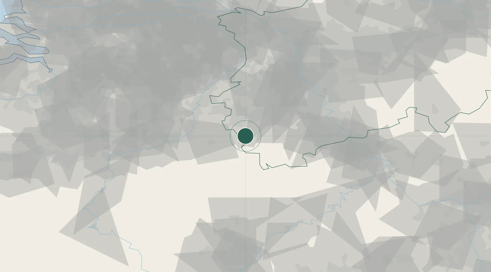
Hub Profile
Place type
Local administrative seat
Region
North Rhine-Westphalia
Population
8,177
Time zone
Europe/Berlin
Elevation
400 m
Location
Nearby Logistics Neighbours
Cities
- 1Aachen15 km
- 2Eschweiler19 km
- 3Nideggen21 km
- 4Langerwehe21 km
- 5Nidrum22 km
Airports
- 1Geilenkirchen Air Base36 km
- 2Nörvenich Air Base38 km
- 3Maastricht Aachen Airport42 km
- 4Liège Airport53 km
- 5Mönchengladbach Airport68 km
Trade Zones
- 1Rheinische Revier SWZ32 km
- 2Freeport of Duisburg93 km
- 3Luxembourg Free Port112 km
- 4ZFU Ronde Couture146 km
- 5ZFU Woippy-Metz167 km
DatabookThe Record of Consolidated Knowledge
Germany beyond logistics?