UN/LOCODE hub · Belgium
BEMLM

Merlemont

50.1833°, 4.6167°
335
Population
1
Transport functions

Transport Functions

Multimodal
UN/LOCODE

Hub Profile

Place type
Populated place
GeoNames
Region
Wallonia
GeoNames
Population
335
GeoNames
Time zone
Europe/Brussels
GeoNames
Elevation
236 m
GeoNames

Location

Location of BEMLM
Natural Earth 10m (public domain) · Wallonia · BEMLM · 50.18, 4.62GoogleOSMYandex

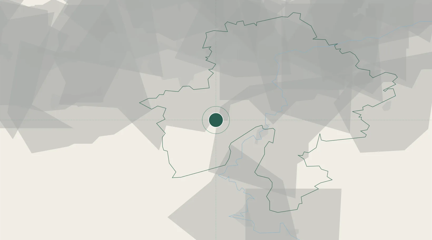
Nearby Logistics Neighbours

Cities
  1. 1Hierges12 km
  2. 2Les Trois-Fontaines13 km
  3. 3Vireux-Molhain13 km
  4. 4Hermeton-sur-Meuse14 km
  5. 5Cerfontaine14 km
Nearest neighbours — logibook spatial index (haversine) over the source coordinates
Ports
  1. 1Bruxelles78 km
  2. 2Antwerpen116 km
  3. 3Ghent116 km
  4. 4Terneuzen141 km
  5. 5Hansweert147 km
Nearest neighbours — logibook spatial index (haversine) over the source coordinates
Airports
  1. 1Florennes Air Base7 km
  2. 2Brussels South Charleroi Airport33 km
  3. 3Charleville-Mézières Ardennes-Etienne Riché Airfield45 km
  4. 4Beauvechain Air Base65 km
  5. 5Chièvres Air Base71 km
Nearest neighbours — logibook spatial index (haversine) over the source coordinates
Trade Zones
  1. 1ZFU Ronde Couture49 km
  2. 2ZFU Maubeuge, Louvroil49 km
  3. 3ZFU Condé sur lEscaut80 km
  4. 4ZFU Denain, Douchy-les-Mines, Escaudain et Lourches89 km
  5. 5ZFU Le Vermandois Vermand, Fayet, Artois, Champagne107 km
Nearest neighbours — logibook spatial index (haversine) over the source coordinates
DatabookThe Record of Consolidated Knowledge
Belgium beyond logistics?
Browse databook

All Sources

LocationsUN/LOCODE
UN/LOCODE — free
LocationsGeoNames
CC BY 4.0
Portsthe NGA World Port Index
Public domain (US gov)
AirportsOurAirports
Public domain
Trade Zonesthe World Bank SEZ database
CC BY 4.0
Trade ZonesOpen Zone Map
CC BY
← Belgium locations