UN/LOCODE hub · Belgium
BEHTM

Hermeton-sur-Meuse

50.2000°, 4.8167°
551
Population
3
Transport functions

Transport Functions

Port
Rail
Road
UN/LOCODE

Hub Profile

Place type
Populated place
GeoNames
Region
Wallonia
GeoNames
Population
551
GeoNames
Time zone
Europe/Brussels
GeoNames
Elevation
109 m
GeoNames

Location

Location of BEHTM
Natural Earth 10m (public domain) · Wallonia · BEHTM · 50.20, 4.82GoogleOSMYandex

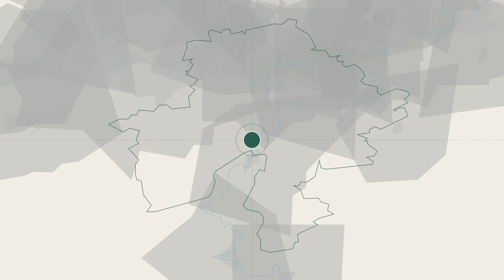
Nearby Logistics Neighbours

Cities
  1. 1Hastière-par-delà2 km
  2. 2Heer4 km
  3. 3Waulsort4 km
  4. 4Les Trois-Fontaines8 km
  5. 5Neffe8 km
Nearest neighbours — logibook spatial index (haversine) over the source coordinates
Ports
  1. 1Bruxelles81 km
  2. 2Antwerpen117 km
  3. 3Ghent123 km
  4. 4Terneuzen146 km
  5. 5Hansweert150 km
Nearest neighbours — logibook spatial index (haversine) over the source coordinates
Airports
  1. 1Florennes Air Base13 km
  2. 2Brussels South Charleroi Airport39 km
  3. 3Charleville-Mézières Ardennes-Etienne Riché Airfield48 km
  4. 4Beauvechain Air Base62 km
  5. 5Liège Airport66 km
Nearest neighbours — logibook spatial index (haversine) over the source coordinates
Trade Zones
  1. 1ZFU Ronde Couture51 km
  2. 2ZFU Maubeuge, Louvroil63 km
  3. 3ZFU Condé sur lEscaut93 km
  4. 4ZFU Denain, Douchy-les-Mines, Escaudain et Lourches103 km
  5. 5Luxembourg Free Port118 km
Nearest neighbours — logibook spatial index (haversine) over the source coordinates
DatabookThe Record of Consolidated Knowledge
Belgium beyond logistics?
Browse databook

All Sources

LocationsUN/LOCODE
UN/LOCODE — free
LocationsGeoNames
CC BY 4.0
Portsthe NGA World Port Index
Public domain (US gov)
AirportsOurAirports
Public domain
Trade Zonesthe World Bank SEZ database
CC BY 4.0
Trade ZonesOpen Zone Map
CC BY
← Belgium locations