UN/LOCODE hub · France
FRVXO

Vireux-Molhain

50.0833°, 4.7167°
1,833
Population
1
Transport functions

Transport Functions

Multimodal
UN/LOCODE

Hub Profile

Place type
Populated place
GeoNames
Region
Grand Est
GeoNames
Population
1,833
GeoNames
Time zone
Europe/Paris
GeoNames
Elevation
111 m
GeoNames

Location

Location of FRVXO
Natural Earth 10m (public domain) · Grand Est · FRVXO · 50.08, 4.72GoogleOSMYandex

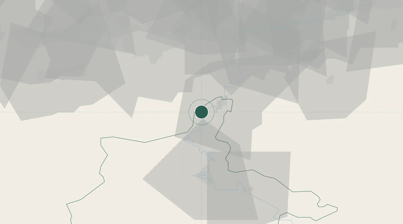
Nearby Logistics Neighbours

Cities
  1. 1Hierges2 km
  2. 2Chooz6 km
  3. 3Les Trois-Fontaines7 km
  4. 4Haybes9 km
  5. 5Heer13 km
Nearest neighbours — logibook spatial index (haversine) over the source coordinates
Ports
  1. 1Bruxelles91 km
  2. 2Antwerpen128 km
  3. 3Ghent130 km
  4. 4Terneuzen154 km
  5. 5Hansweert160 km
Nearest neighbours — logibook spatial index (haversine) over the source coordinates
Airports
  1. 1Florennes Air Base19 km
  2. 2Charleville-Mézières Ardennes-Etienne Riché Airfield34 km
  3. 3Brussels South Charleroi Airport46 km
  4. 4Beauvechain Air Base75 km
  5. 5Liège Airport81 km
Nearest neighbours — logibook spatial index (haversine) over the source coordinates
Trade Zones
  1. 1ZFU Ronde Couture37 km
  2. 2ZFU Maubeuge, Louvroil59 km
  3. 3ZFU Condé sur lEscaut92 km
  4. 4ZFU Denain, Douchy-les-Mines, Escaudain et Lourches98 km
  5. 5ZFU Reims106 km
Nearest neighbours — logibook spatial index (haversine) over the source coordinates
DatabookThe Record of Consolidated Knowledge
France beyond logistics?
Browse databook

All Sources

LocationsUN/LOCODE
UN/LOCODE — free
LocationsGeoNames
CC BY 4.0
Portsthe NGA World Port Index
Public domain (US gov)
AirportsOurAirports
Public domain
Trade Zonesthe World Bank SEZ database
CC BY 4.0
Trade ZonesOpen Zone Map
CC BY
← France locations