Transport Functions
Multimodal
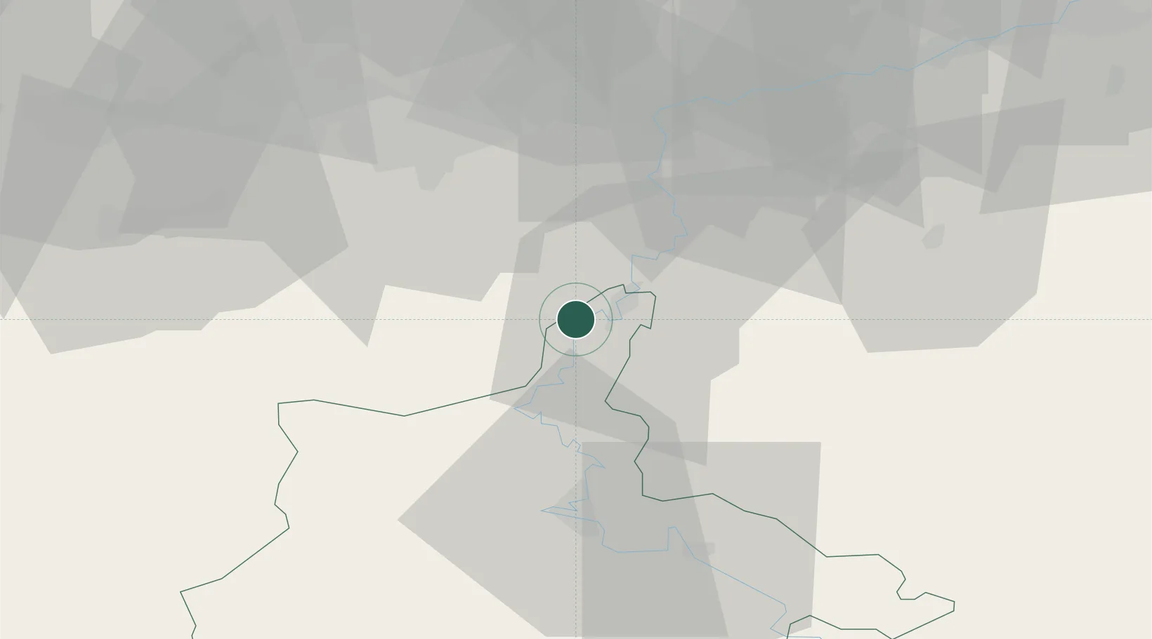
Hub Profile
Place type
Populated place
Region
Grand Est
Population
198
Time zone
Europe/Paris
Elevation
122 m
Location
Nearby Logistics Neighbours
Cities
- 1Vireux-Molhain2 km
- 2Chooz5 km
- 3Les Trois-Fontaines5 km
- 4Heer10 km
- 5Haybes11 km
Airports
Trade Zones
- 1ZFU Ronde Couture39 km
- 2ZFU Maubeuge, Louvroil60 km
- 3ZFU Condé sur lEscaut92 km
- 4ZFU Denain, Douchy-les-Mines, Escaudain et Lourches99 km
- 5ZFU Reims108 km
DatabookThe Record of Consolidated Knowledge
France beyond logistics?