Transport Functions
Port
Road
Hub Profile
Region
WHT
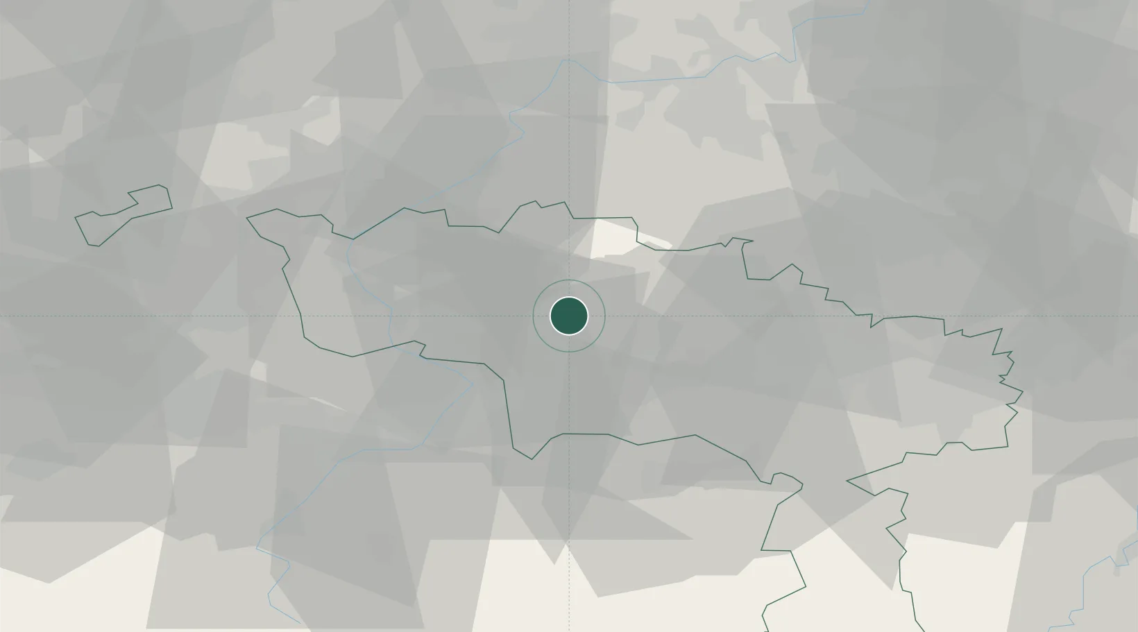
Location
Nearby Logistics Neighbours
Cities
- 1Beloeil4 km
- 2Ath6 km
- 3Maffle6 km
- 4Villers-Notre-Dame6 km
- 5Villers-Saint-Amand6 km
Airports
Trade Zones
DatabookThe Record of Consolidated Knowledge
Belgium beyond logistics?