Transport Functions
Port
Road
Hub Profile
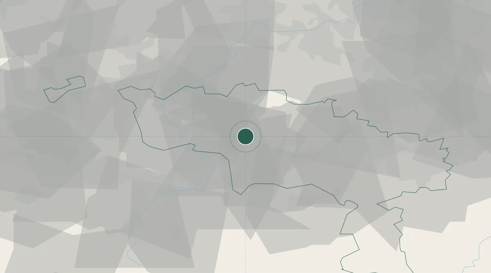
Place type
Populated place
Region
Wallonia
Population
13,405
Time zone
Europe/Brussels
Elevation
59 m
Location
Nearby Logistics Neighbours
Cities
- 1Ladeuze4 km
- 2Stambruges6 km
- 3Ramegnies6 km
- 4Blaton7 km
- 5Villers-Notre-Dame8 km
Airports
Trade Zones
DatabookThe Record of Consolidated Knowledge
Belgium beyond logistics?