UN/LOCODE hub · Belgium
BEVSA
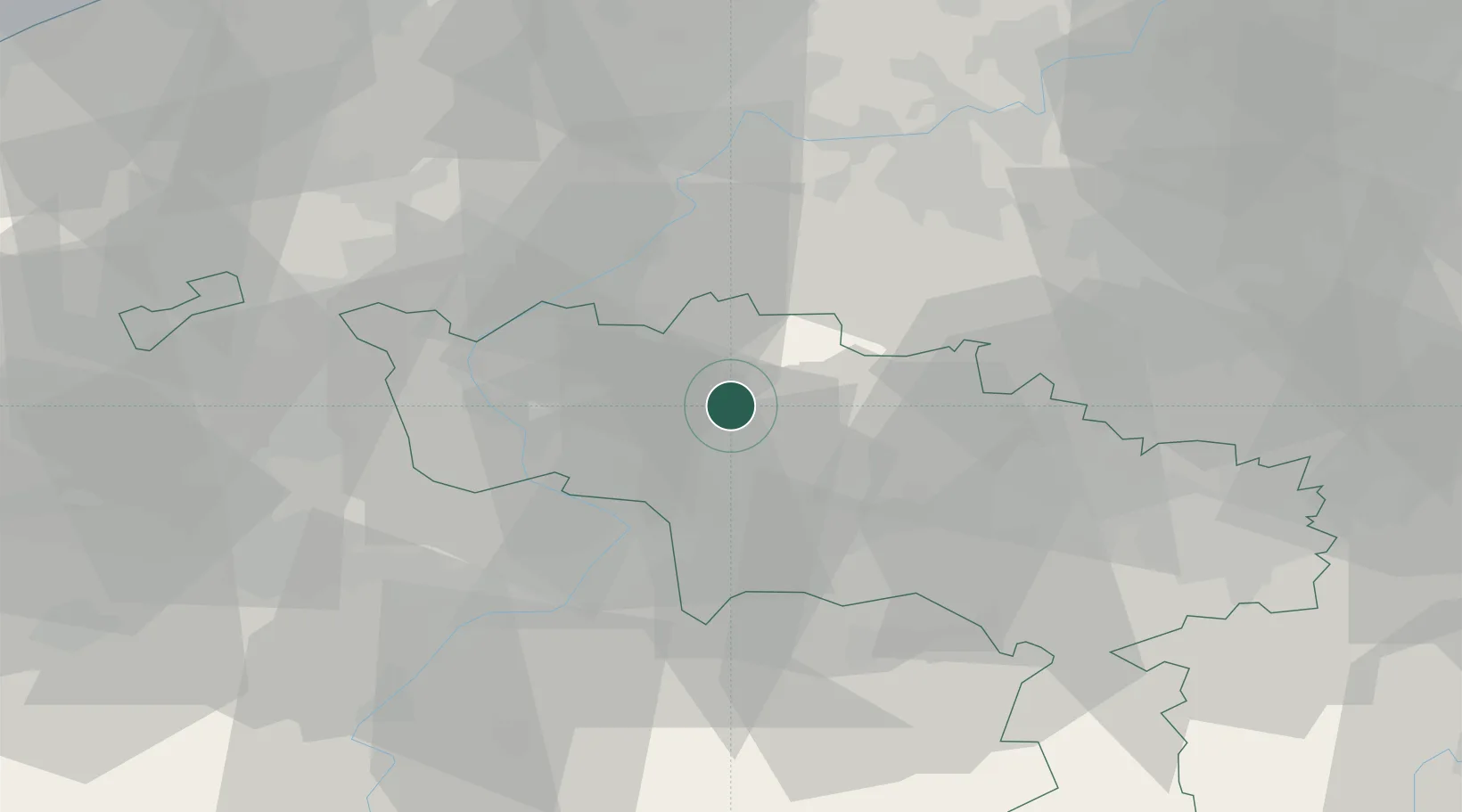
Villers-Saint-Amand
50.6167°, 3.7333°
614
Population
2
Transport functions
Transport Functions
Rail
Road
Hub Profile
Place type
Populated place
Region
Wallonia
Population
614
Time zone
Europe/Brussels
Elevation
43 m
Location
Nearby Logistics Neighbours
DatabookThe Record of Consolidated Knowledge
Belgium beyond logistics?