Transport Functions
Port
Road
Hub Profile
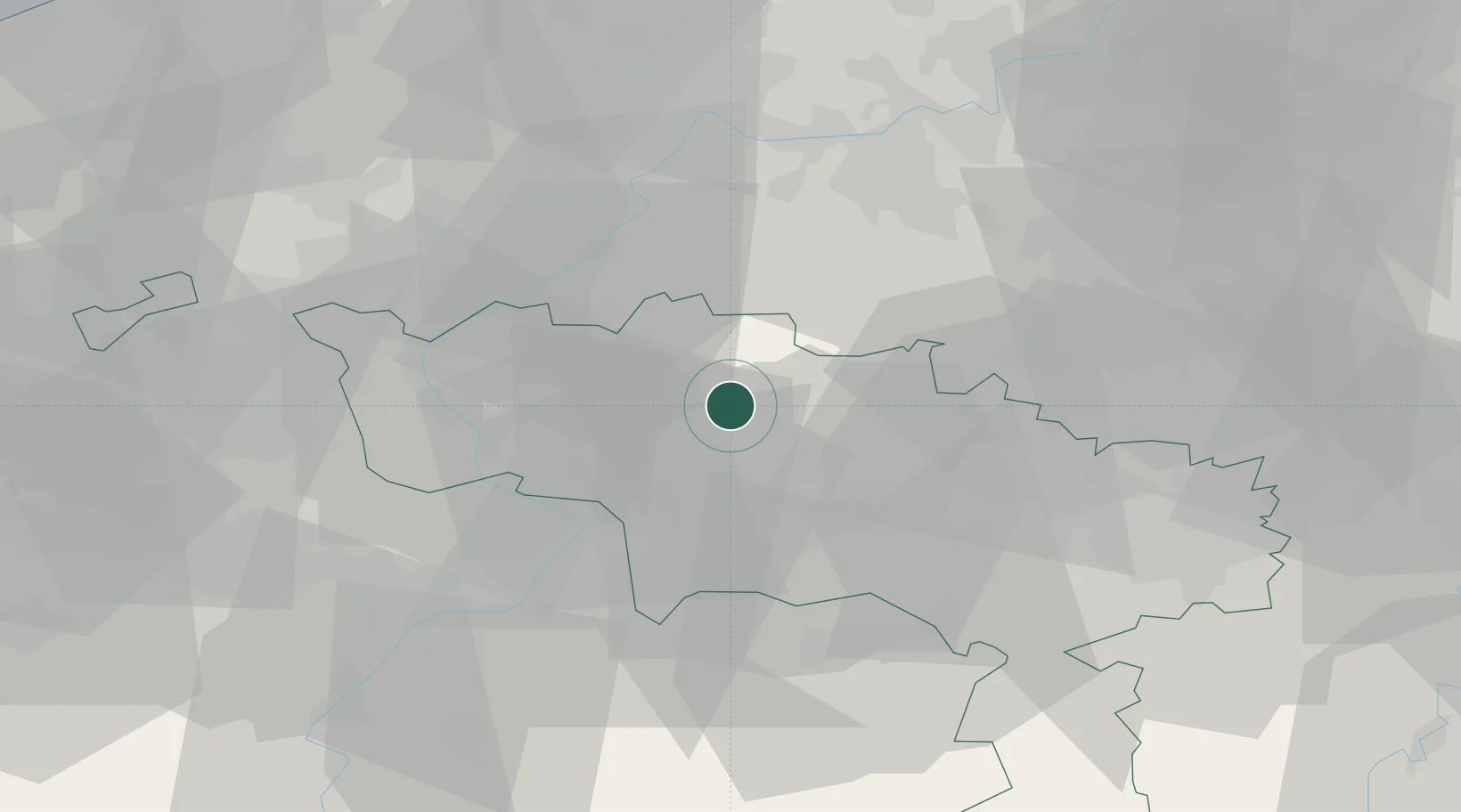
Place type
Populated place
Region
Wallonia
Population
1,733
Time zone
Europe/Brussels
Elevation
36 m
Location
Nearby Logistics Neighbours
Cities
- 1Ath2 km
- 2Lanquesaint4 km
- 3Rebaix4 km
- 4Villers-Notre-Dame5 km
- 5Villers-Saint-Amand5 km
Airports
Trade Zones
DatabookThe Record of Consolidated Knowledge
Belgium beyond logistics?