Transport Functions
Port
Road
Hub Profile
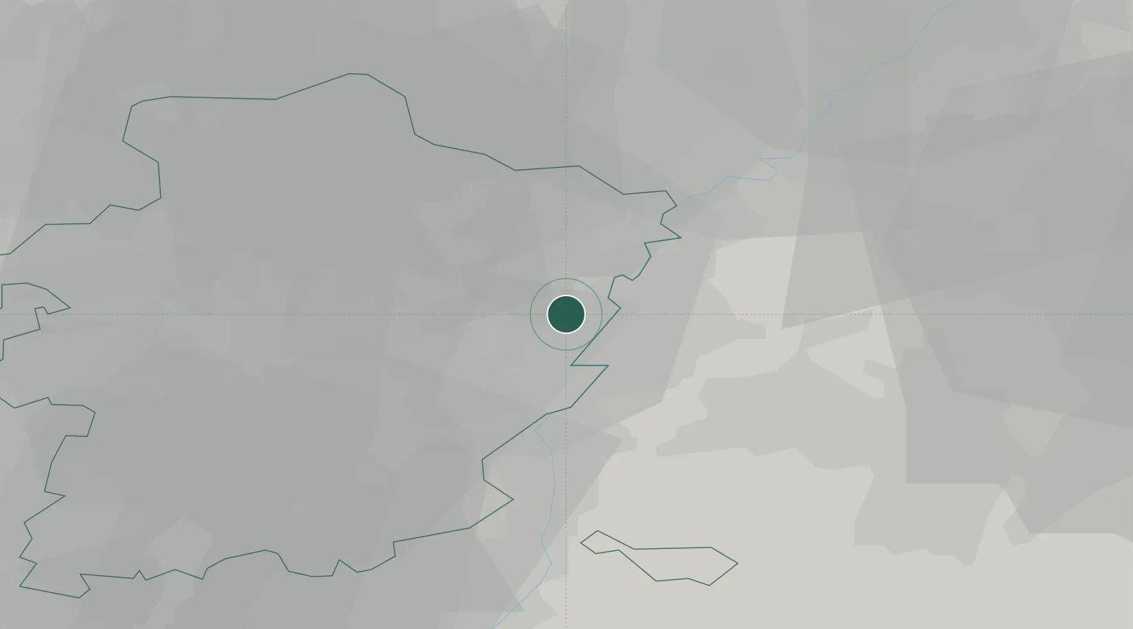
Place type
Populated place
Region
Flanders
Population
4,453
Time zone
Europe/Brussels
Elevation
37 m
Location
Nearby Logistics Neighbours
Cities
- 1Dilsen2 km
- 2Eisden4 km
- 3Urmond4 km
- 4Neeroeteren8 km
- 5Born8 km
Airports
- 1Maastricht Aachen Airport12 km
- 2Geilenkirchen Air Base24 km
- 3Kleine Brogel Air Base24 km
- 4Kempen Airport Budel28 km
- 5Liège Airport46 km
Trade Zones
- 1Rheinische Revier SWZ48 km
- 2Freeport of Duisburg77 km
- 3ZFU Maubeuge, Louvroil151 km
- 4Luxembourg Free Port157 km
- 5ZFU Ronde Couture158 km
DatabookThe Record of Consolidated Knowledge
Belgium beyond logistics?