Transport Functions
Port
Road
Hub Profile
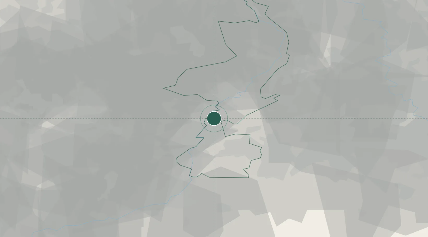
Place type
Populated place
Region
Limburg
Population
2,430
Time zone
Europe/Amsterdam
Elevation
38 m
Logistics facilities
1
Location
Nearby Logistics Neighbours
Cities
- 1Illikhoven1 km
- 2Susteren2 km
- 3Roosteren3 km
- 4Maaseik5 km
- 5Dilsen7 km
Airports
- 1Maastricht Aachen Airport17 km
- 2Geilenkirchen Air Base19 km
- 3Kempen Airport Budel27 km
- 4Kleine Brogel Air Base27 km
- 5Mönchengladbach Airport52 km
Trade Zones
- 1Rheinische Revier SWZ43 km
- 2Freeport of Duisburg69 km
- 3ZFU Maubeuge, Louvroil160 km
- 4Luxembourg Free Port160 km
- 5ZFU Ronde Couture165 km
DatabookThe Record of Consolidated Knowledge
Netherlands beyond logistics?