Transport Functions
Port
Road
Hub Profile
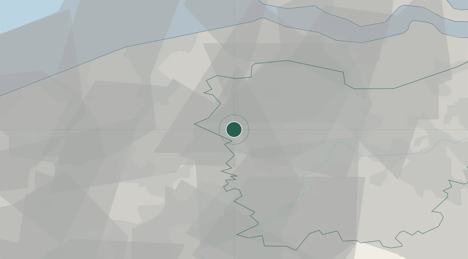
Place type
Populated place
Region
Flanders
Population
18,802
Time zone
Europe/Brussels
Elevation
17 m
Location
Nearby Logistics Neighbours
Cities
- 1Hamme6 km
- 2Knesselaere6 km
- 3Hansbeke6 km
- 4Zomergem8 km
- 5Nevele9 km
Airports
Trade Zones
- 1ZFU Tourcoing45 km
- 2ZFU Hem et Roubaix48 km
- 3ZFU de Lille et de Loos59 km
- 4ZFU Condé sur lEscaut69 km
- 5ZFU Saint Pol sur Mer78 km
DatabookThe Record of Consolidated Knowledge
Belgium beyond logistics?